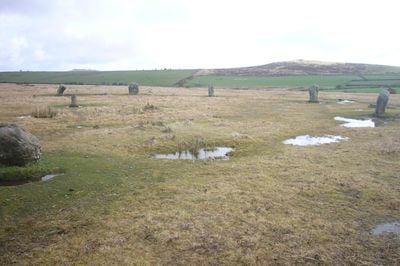
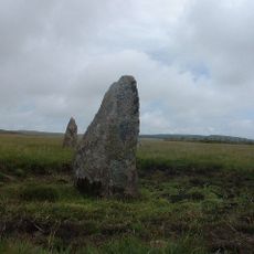
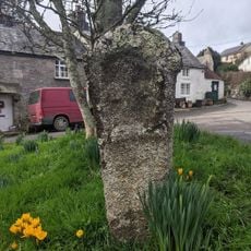
Trippet stones, Stone circle on Bodmin Moor, Cornwall, Great Britain.
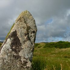
Trippet is a stone circle on Bodmin Moor composed of eight upright granite stones and four fallen ones arranged in a circular formation. The formation measures roughly 32 meters across, creating a visible geometric pattern on the moorland.
The circle dates to around 1700 BCE and belongs to the Bronze Age period. Archaeological evidence suggests it originally contained between 26 and 28 standing stones, making it a more substantial structure than it appears today.
The name Trippet comes from local folklore about girls who were turned to stone as punishment for dancing on Saturday. This tale remains part of the place's identity and shapes how people understand the site.
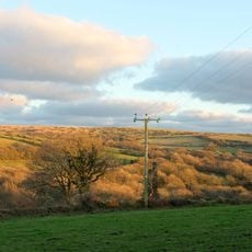
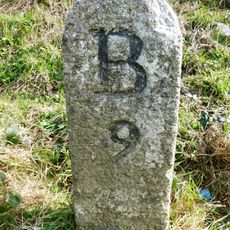
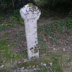
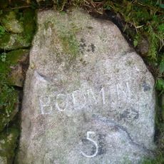
The site sits near a minor road on Manor Common in Blisland, about 9 kilometers northeast of Bodmin. The open moorland is accessible year-round and allows clear views of the circle from different angles.
The stones align in specific ways with nearby Stripple Stones and the Leaze circle, suggesting possible astronomical connections in how they were positioned. These relationships between several circles in the region suggest they formed part of a larger system of ritual landmarks.
GPS coordinates: 50.54480,-4.63928
Latest update: December 12, 2025 12:02
King Arthur's Hall
2.7 km
Stripple stones
1.3 km
Jubilee Rock
2.8 km
De Lank Quarries
3 km
Church of St Protus and St Hyacinth
3.6 km
Emblance Downs stone circles
2.5 km
Church of St Brueredus
4.1 km
Church of St Catherine
2.3 km
Boundary Stone To South West Of Delford Bridge
1.9 km
Old School
3.6 km
Keybridge Bridge And Sundial In South West Cutwater
4.4 km
The Coach House
3.6 km
Trehudreth Mill
3.2 km
Bradford Bridge
1.3 km
Delford Bridge
1.9 km
The Middle Moor Cross, 230m north-east of Camperdown Farm
4.3 km
Medieval wayside cross at Blisland
3.6 km
Footbridge To West Of Bradford Bridge
1.3 km
Durford
2.1 km
White Meadow
3.8 km
Pair Of Gatepiers Flanking Wall And Railings At South East Entrance To Trewardale
4.2 km
Milestone Opposite Middle Lordswaste (Ngr Sx1725075097)
4.1 km
De Lank Farmhouse
4 km
Mansion House
3.5 km
St Protus's Cross
3.3 km
Clapperbridge To East Of Ivey
1.5 km
Trehudreth Millhouse
3.2 km
Guidestone, opp. Higher Penstroda farmhouse
2.9 kmVisited this place? Tap the stars to rate it and share your experience / photos with the community! Try now! You can cancel it anytime.
Discover hidden gems everywhere you go!
From secret cafés to breathtaking viewpoints, skip the crowded tourist spots and find places that match your style. Our app makes it easy with voice search, smart filtering, route optimization, and insider tips from travelers worldwide. Download now for the complete mobile experience.
A unique approach to discovering new places❞
— Le Figaro
All the places worth exploring❞
— France Info
A tailor-made excursion in just a few clicks❞
— 20 Minutes