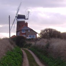
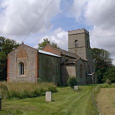
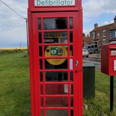
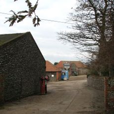
Kelling Heath, Nature reserve in North Norfolk, England.
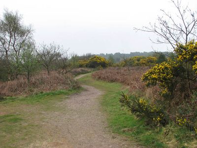
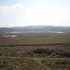
Kelling Heath is a nature reserve in North Norfolk covering about 300 acres of mixed woodland and open heathland. The landscape features multiple walking and cycling trails that connect through wooded sections and open areas.
The area became protected as a Site of Special Scientific Interest to safeguard the ecological balance of the Norfolk coastal landscape. This formal designation put measures in place to maintain the variety of habitats for the future.
The mix of woodland and open space supports rare species like red squirrels and silver-studded blue butterflies that depend on these specific habitats. Walking through the reserve gives visitors chances to spot these creatures and understand how they live.
Trails are clearly marked and easy to follow throughout the reserve in both wooded and open sections. Bringing sturdy footwear is recommended since terrain and ground conditions can change depending on recent weather.
The reserve is designated as a Dark Sky Discovery Site, which means very little artificial light pollution at night. This makes it an exceptional place for stargazing, allowing visitors to see far more stars than in most other parts of England.
The community of curious travelers
AroundUs brings together thousands of curated places, local tips, and hidden gems, enriched daily by 60,000 contributors worldwide.