
Manaccan, civil parish and village on the Lizard peninsula in south Cornwall, England
Location: Cornwall
Elevation above the sea: 61.2 m
GPS coordinates: 50.08300,-5.12800
Latest update: March 6, 2025 11:57
Trebah
2.4 km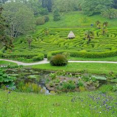
Glendurgan Garden
2.7 km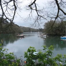
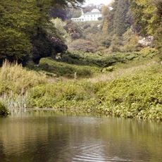
Port Navas Creek
2.2 km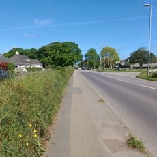
Meneage
3.4 km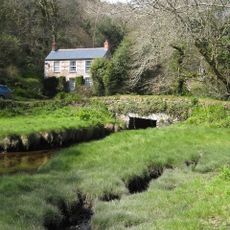
Trenarth Bridge
3.3 km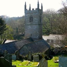
Church of Saint Anthony
2.1 km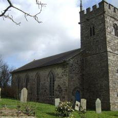
Church of St Martin
3.1 km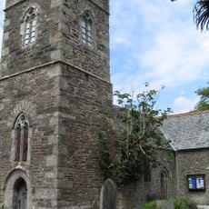
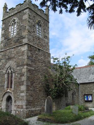
Church of Saint Manacca
76 m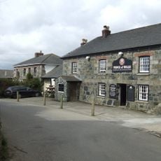
The Prince Of Wales Public House
2.8 km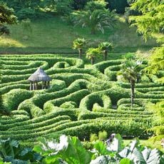
Glendurgan Maze
2.8 km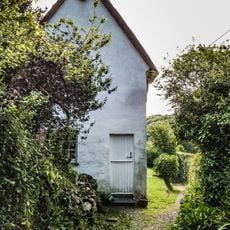
Halamana Cottage
2 km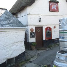
The Shipwright's Arms Public House
1.3 km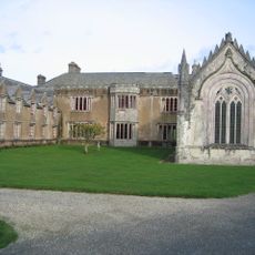
Trelowarren House
4.4 km
Tremayne Quay
3 km
Part of a promontory fort with Civil War fieldworks known as Little Dennis
2.5 km
Kitchen Garden Walls
4.5 km
Gear Farmhouse And Garden Wall To Front
4.1 km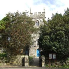
Gate Piers, Flanking Walls And Stile At Approximately 16 Metres West Of Church Of St Martin
3.1 km
Inscribed Stone At Approximately 5 Metres South Of Church Of St Martin
3.1 km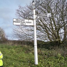
Guide Post At Sw 764253
343 m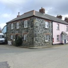
Corner House
2.9 km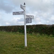
Guidepost At Sw 756 247
770 m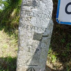
Guide Post 300 Metres East Of Tregowris
2.7 km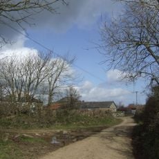
Grugwith Farmhouse
4.4 km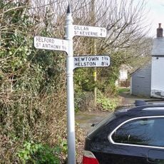
Guide Post At The Principal Village Road Junction
41 m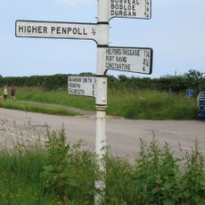
Guide Post At Sw774280
3.3 km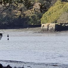
Merthen Quay Including Revetment Adjoining On South West
3.3 km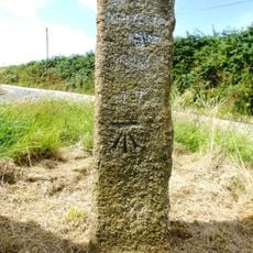
Guidepost, 250 Metres South West Of Tregeage Farmhouse
3.7 kmVisited this place? Tap the stars to rate it and share your experience / photos with the community! Try now! You can cancel it anytime.
Discover hidden gems everywhere you go!
From secret cafés to breathtaking viewpoints, skip the crowded tourist spots and find places that match your style. Our app makes it easy with voice search, smart filtering, route optimization, and insider tips from travelers worldwide. Download now for the complete mobile experience.

A unique approach to discovering new places❞
— Le Figaro
All the places worth exploring❞
— France Info
A tailor-made excursion in just a few clicks❞
— 20 Minutes