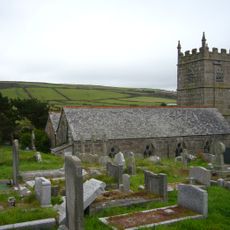
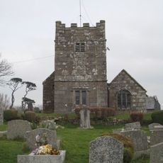
Zennor Head, Granite headland in Cornwall, United Kingdom
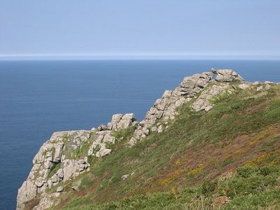
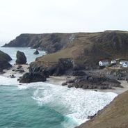
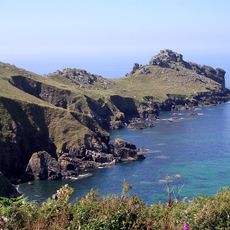
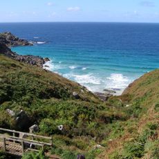
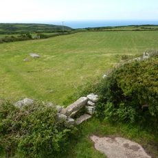
Zennor Head is a granite headland on the Cornish coast that extends roughly 750 meters into the Atlantic Ocean. The cliff faces consist of solid granite rock and rise more than 60 meters above sea level.
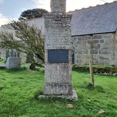
The headland was acquired by the National Trust in 1953 to preserve its natural state and ensure public access to this coastal formation. This purchase marked a key moment in protecting the landscape.
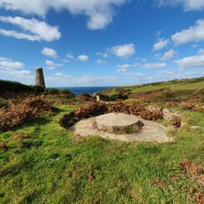
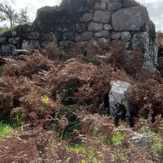
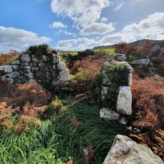
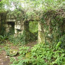
The cliffs display visible old mining tunnels from the Victorian era when copper and tin were extracted here, telling stories of Cornwall's industrial past.
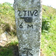
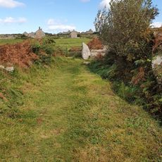
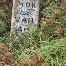
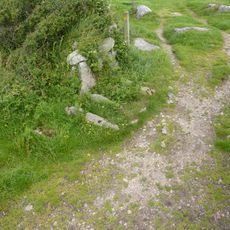
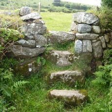
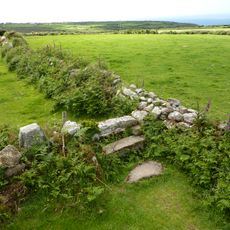
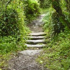
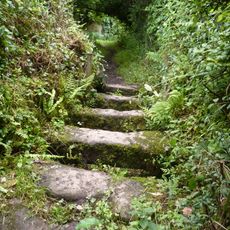
Multiple marked trails connect the headland to the South West Coast Path, providing various walking routes around the promontory. The paths are well-maintained, though coastal weather can change quickly and the area tends to be quite windy.
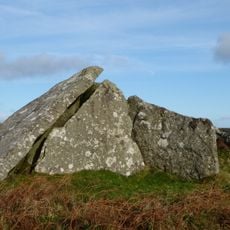
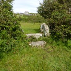
The rocks display striking geological patterns where granite intrudes into Killas strata, creating distinct layered formations that are visible to visitors. Rock enthusiasts can observe these geological boundaries directly at the headland.
Location: Zennor
GPS coordinates: 50.20118,-5.57512
Latest update: December 6, 2025 19:10
Cornwall holds scattered coves, historic manors, and ancient stone circles that together create a collection of places reflecting the region's history, culture, and landscape. Visitors can discover medieval castles like Tintagel Castle, climb lighthouses, explore underground caves, and walk through...
Gurnard's Head
2 km
Zennor Quoit
2.5 km
St Senara's Church, Zennor
1.2 km
Tinner's Arms
1.2 km
Pendour Cove
727 mTreen Cove
2 km
Cross at approximately 5 metres south of tower of Church of St Sennar
1.2 km
Zennor War Memorial in the Church yard of St Sennar
1.2 km
Bridge And Stile At Sw 48053975
3.1 km
Bosigran Smelting Works
3.1 km
Guide Post At Sw 437373
2.5 km
Aqueduct And Stiles At Sw 419371
3.2 km
Guide Post At Sw 452 380
1.6 km
Borlase chest with 2 crosses at approximately 12 metres north of Church of St Sennar
1.2 km
House At Sw 41933701
3.3 km
Stile At Sw 47003942
2.1 km
House At Sw 41923701
3.3 km
Stile At Sw 46913932
2 km
Entrance grave known as Zennor Quoit 600m north-east of Foage Farm
2.5 km
Stile At Sw 47833953
2.8 km
Stile At Sw 48013966
3 km
Stile At Sw 47453945
2.5 km
Farm Buildings At Sw 47284008
2.4 km
House At Sw 46643916
1.7 km
Group Of 2 Headstones And 2 Footstones At 1 Metre North Of Church Of Saint Towennac
4 km
Stile Immediately West Of Wicca Farmhouse
2.2 km
Stile At Sw 46663917
1.7 km
Stile At Sw 46753922
1.8 kmVisited this place? Tap the stars to rate it and share your experience / photos with the community! Try now! You can cancel it anytime.
Discover hidden gems everywhere you go!
From secret cafés to breathtaking viewpoints, skip the crowded tourist spots and find places that match your style. Our app makes it easy with voice search, smart filtering, route optimization, and insider tips from travelers worldwide. Download now for the complete mobile experience.
A unique approach to discovering new places❞
— Le Figaro
All the places worth exploring❞
— France Info
A tailor-made excursion in just a few clicks❞
— 20 Minutes