Enable Location

We need your location to show you interesting places around you

Discover nearby places

Find interesting locations and hidden gems around you

Precise directions

Get accurate directions and distances to places

Your location is never shared with other users. It's only used when you tap the location button.

Scar Crags

Log in to your account

Start exploring — it's free

Trusted by 61,460 travelers worldwide

Continue with Google
Continue with Apple
or

We will send you a code to connect

By continuing, you accept our Terms and Conditions and our Privacy Policy

Check your inbox

We've sent a pincode in your inbox. Please enter the code below.

Scar Crags

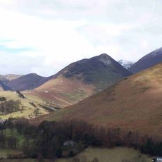
Scar Crags, Mountain summit in Lake District, England

Description

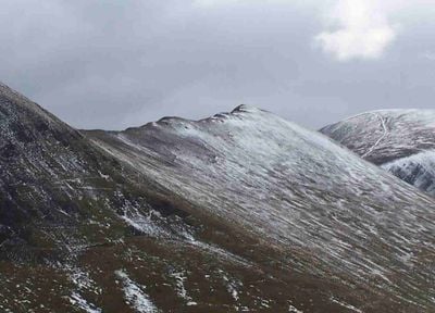
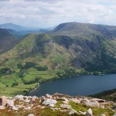
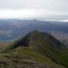
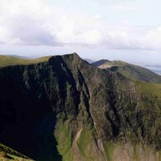
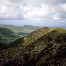
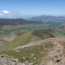
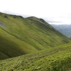
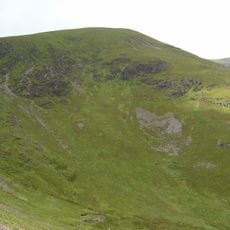
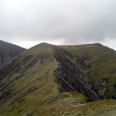
Scar Crags is a mountain summit in the north western part of the Lake District rising to 672 meters (2,205 feet) with steep, rocky southern flanks and more gradual northern slopes. The terrain varies considerably across the peak, creating different hiking routes with varying levels of difficulty.

History

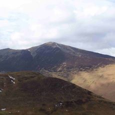
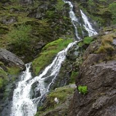
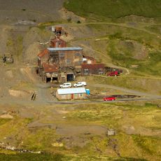
The northern slopes contained the Lake District's only cobalt mine, established in 1846 by the Keswick Mining Company to extract the valuable ore. Mining operations eventually ceased due to challenging extraction conditions that made the venture economically unviable.

Culture

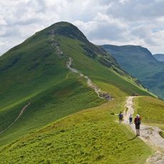
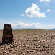
The summit belongs to multiple hiking classifications, including Hewitt, Nuttall, and Wainwright, marking its significance in British mountaineering documentation systems. Climbers use these categories to organize their expeditions and track their achievements within the local hiking community.

Practical

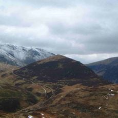
Most hikers reach the summit via an old mine road from Stair, following Stoneycroft Gill to Sail Pass rather than attempting steep direct ascents. This established path offers a more manageable approach than tackling the steeper flanks from other directions.

Did you know?

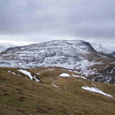
The mountain's geology consists of laminated mudstone and siltstone from the Kirkstile Formation, creating distinctive ridge features along its summit line. This layered structure gives the slopes a visible banded pattern that hikers notice while ascending the peak.

Elevation above the sea
672 m
GPS coordinates
54.57501,-3.22593
Latest update
December 14, 2025 15:01

AroundUs brings together thousands of curated places, local tips, and hidden gems, enriched daily by 60,000 contributors worldwide. Discover all places nearby (United Kingdom).

« Scar Crags - Mountain summit in Lake District, England » is provided by Around Us (aroundus.com). Images and texts are derived from Wikimedia project under a Creative Commons license. You are allowed to copy, distribute, and modify copies of this page, under the conditions set by the license, as long as this note is clearly visible.

Discover hidden gems everywhere you go!

From secret cafés to breathtaking viewpoints, skip the crowded tourist spots and find places that match your style. Our app makes it easy with voice search, smart filtering, route optimization, and insider tips from travelers worldwide. Download now for the complete mobile experience.

Around Us App Screenshot

A unique approach to discovering new places

Le Figaro

All the places worth exploring

France Info

A tailor-made excursion in just a few clicks

20 Minutes

Around Us
Travel Guide & Maps
Download

Send to your phone

QR Code
1

Open the camera app on your mobile.

2

Point at the QR code with your camera. A notification will appear.

3

Tap the notification to open the link.