Enable Location

We need your location to show you interesting places around you

Discover nearby places

Find interesting locations and hidden gems around you

Precise directions

Get accurate directions and distances to places

Your location is never shared with other users. It's only used when you tap the location button.

Scawt Hill

Log in to your account

Start exploring — it's free

Trusted by 62,477 travelers worldwide

Continue with Google
Continue with Apple
or

We will send you a code to connect

By continuing, you accept our Terms and Conditions and our Privacy Policy

Check your inbox

We've sent a pincode in your inbox. Please enter the code below.

Scawt Hill

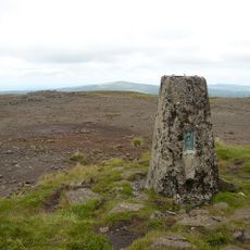
Scawt Hill, Volcanic summit in County Antrim, Northern Ireland.

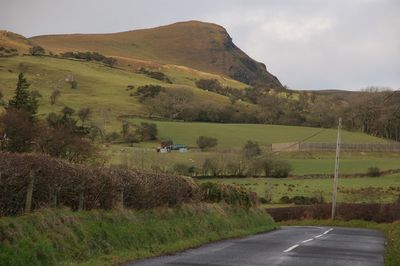
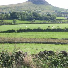
Scawt Hill is a volcanic summit rising about 378 meters with dolerite crags and steep cliffs. The crags display distinctive vertical joints and form part of the East Antrim escarpment landscape.

Geologist C.E. Tilley conducted extensive research on the site between 1929 and 1933. His documentation of mineral formations significantly influenced geological studies worldwide.

The name comes from the Ulster Scots word 'scawd', which refers to rocky surfaces visible across the mountain. This term reflects how local language has always been tied to the landscape itself.

The summit can be reached via farm lanes or the Ulster Way footpath, with the starting point from Linford car park roughly 2 kilometers away. The terrain requires sturdy footwear and moderate fitness, especially in wet conditions.

The site was where the first calcium orthosilicate mineral, called larnite, was discovered. This mineral formed from the chemical interaction between dolerite and limestone layers.

The community of curious travelers

AroundUs brings together thousands of curated places, local tips, and hidden gems, enriched daily by 60,000 contributors worldwide.

Start exploring
Elevation above the sea
378 m
GPS coordinates
54.91074,-5.91545
Latest update
December 12, 2025 14:26
« Scawt Hill - Volcanic summit in County Antrim, Northern Ireland » is provided by Around Us (aroundus.com). Images and texts are derived from Wikimedia project under a Creative Commons license. You are allowed to copy, distribute, and modify copies of this page, under the conditions set by the license, as long as this note is clearly visible.

Discover hidden gems everywhere you go!

From secret cafés to breathtaking viewpoints, skip the crowded tourist spots and find places that match your style. Our app makes it easy with voice search, smart filtering, route optimization, and insider tips from travelers worldwide. Download now for the complete mobile experience.

Around Us App Screenshot

A unique approach to discovering new places

Le Figaro

All the places worth exploring

France Info

A tailor-made excursion in just a few clicks

20 Minutes

Around Us
Travel Guide & Maps
Download

Send to your phone

QR Code
1

Open the camera app on your mobile.

2

Point at the QR code with your camera. A notification will appear.

3

Tap the notification to open the link.