Peel Fell, Mountain summit in Northumberland, England.
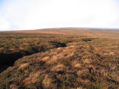
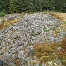
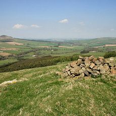
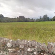
Peel Fell is a rounded hill standing at about 600 meters in the borderlands between England and Scotland. The summit is marked with a cairn and surrounded by open moorland with rolling terrain in all directions.
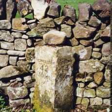
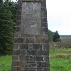
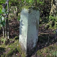
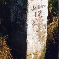
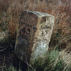
This hill served as a historic boundary marker between England and Scotland, marking the division of two territories. Its location at this significant border has been recognized for centuries as a natural dividing point.
The hill is a regular destination for walkers from nearby areas who come to experience its open moorland setting. These visits connect people to the landscape and the outdoor traditions of the region.
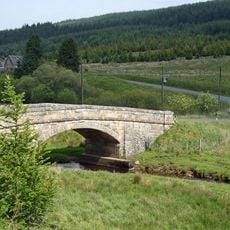
You can reach the summit through hiking paths starting from Deadwater Farm or Kielder Village, both offering straightforward access. A map or compass is helpful to stay on track, especially as the moorland can seem open and unmarked.
The hill holds dual classification as both a Marilyn and Dewey, special mountain categories that highlight its standing in the landscape. These designations make it a particular draw for hill walkers who track such rankings.
The community of curious travelers
AroundUs brings together thousands of curated places, local tips, and hidden gems, enriched daily by 60,000 contributors worldwide.