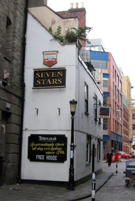
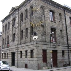
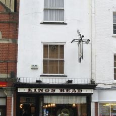
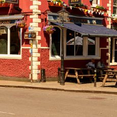
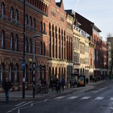
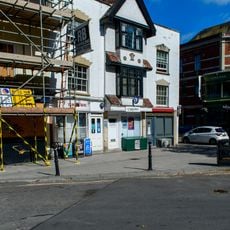
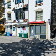
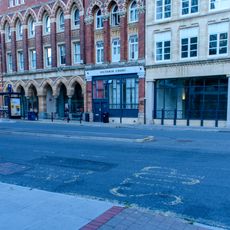
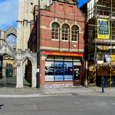
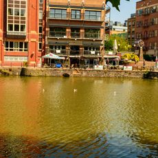
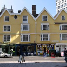
Seven Stars Public House, Bristol, Grade II listed pub in Redcliffe, England
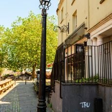
Seven Stars is a Grade II listed pub on Thomas Lane, its original iron-edged pavement still showing traces of its role during the era of horse-drawn carriages. The establishment serves over 30 different cask ales weekly alongside traditional West Country ciders and perries.
In 1787 abolitionist Thomas Clarkson used the pub as a base for investigating Bristol's slave trade, working closely with landlord William Thompson. This collaboration made the building a significant location in the early movement against slavery.
The pub maintains traditional entertainment with a pool table, dart board, and regular Morris dancer performances throughout the year. These activities shape how locals and visitors experience the space on ordinary evenings.
The pub sits near Bristol Bridge and is easily accessible to those exploring the area. Visiting on weekends when traditional entertainment regularly takes place helps you experience the full character of the place.
The pub survived bombing raids, riots, and demolition plans of the 1960s that destroyed many historic buildings in Bristol. Its ability to endure through these turbulent periods makes it a rare example of authentic pub culture that has remained intact.
The community of curious travelers
AroundUs brings together thousands of curated places, local tips, and hidden gems, enriched daily by 60,000 contributors worldwide.