
Stoke, civil parish in Cheshire East, UK
Location: Cheshire East
Shares border with: Haughton, Hurleston, Wardle, Cholmondeston, Poole
GPS coordinates: 53.10000,-2.56667
Latest update: March 6, 2025 08:07
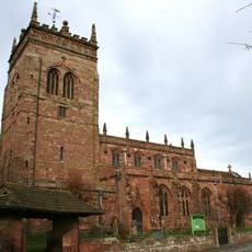
St Mary's Church, Acton
3.1 km
Snugburys
1.4 km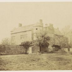
Poole Hall
2.5 km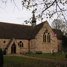
St Oswald's Church, Worleston
3.1 km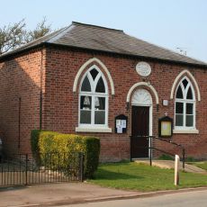
Poole Methodist Chapel
1.5 km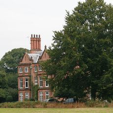
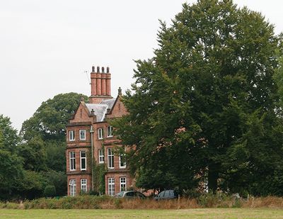
Stoke Hall
700 m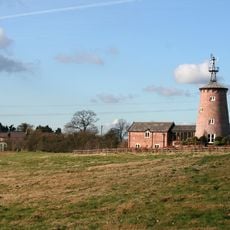
Ravensmoor Windmill
2.9 km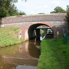
Hurleston Bridge Number 1
930 m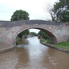
Bremilows Bridge Number 100
793 m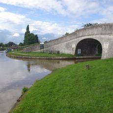
Roving Bridge
1.3 km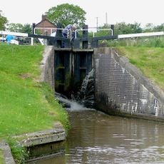
Llangollen Branch of the Shropshire Union Canal Hurleston Lock Number 3
823 m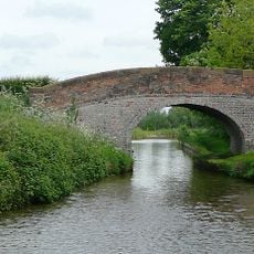
Llangollen Branch of the Shropshire Union Canal, Bache House Bridge Number 2
1.2 km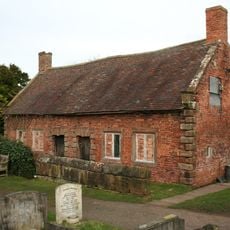
Almhouses in St Mary's churchyard north of the church
3.1 km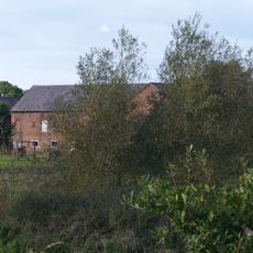
Farm building 40 metres north of Bache House Farmhouse
1.3 km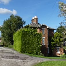
Middlewich Branch Canal Canal House, Barbridge Junction at SJ 613 569
1.3 km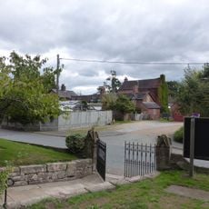
St. Mary's Churchyard Wall
3.1 km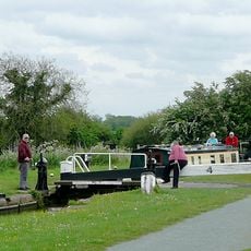
Llangollen Branch of the Shropshire Union Canal Hurleston Lock Number 4 (West)
839 m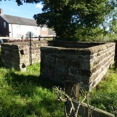
Wardle Pinfold
1.7 km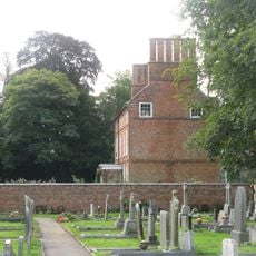
Glebe House
3.1 km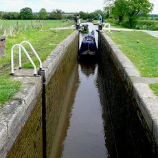
Llangollen Branch of the Shropshire Union Canal Hurleston Lock Number 2
815 m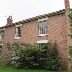
Church Farm House
3.1 km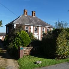
Wardle Old Hall
1.5 km
Llangollen Branch of the Shropshire Union Canal Hurleston Lock Number 1 (East)
817 m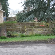
Pinfold 150 Yards North West Of Poole Bank
1.9 km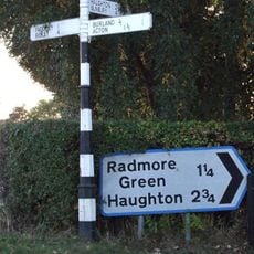
Signpost at the south end of Long Lane
2.8 km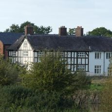
Bache House Farmhouse
1.3 km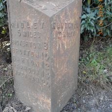
Milepost, NW of old windmill, W of Cuckoo Lane jct
2.8 km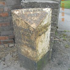
Milepost, Wardle
1.4 kmVisited this place? Tap the stars to rate it and share your experience / photos with the community! Try now! You can cancel it anytime.
Discover hidden gems everywhere you go!
From secret cafés to breathtaking viewpoints, skip the crowded tourist spots and find places that match your style. Our app makes it easy with voice search, smart filtering, route optimization, and insider tips from travelers worldwide. Download now for the complete mobile experience.

A unique approach to discovering new places❞
— Le Figaro
All the places worth exploring❞
— France Info
A tailor-made excursion in just a few clicks❞
— 20 Minutes