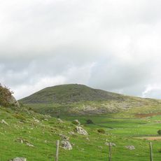
Bwlch Mawr, Mountain summit in Llŷn Peninsula, Wales.
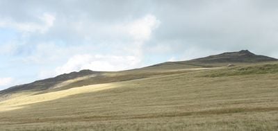
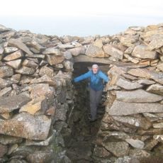
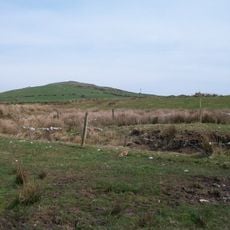
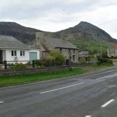
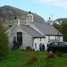
Bwlch Mawr is a summit on the Llŷn Peninsula in North Wales that rises to approximately 510 meters with a visible triangulation point at the top. The mountain's slopes are steep and defined, creating distinctive views across the surrounding landscape from the summit.
The Ordnance Survey established a triangulation station at this peak to measure and map the geographic features of North Wales during the national mapping surveys. These measurements were part of a larger effort to accurately chart the British landscape in the 1800s.
The Welsh name Bwlch Mawr translates to 'big pass', reflecting how local communities named geographical features based on the way the land naturally opened up. Standing at the top, you can see why this name stuck: the ridge narrows and creates a clear passage through the surrounding high ground.
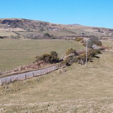
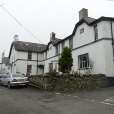
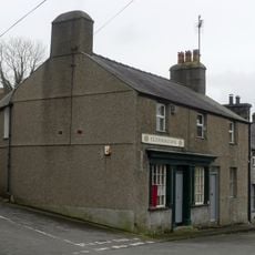
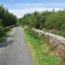
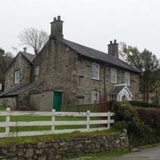
Public footpaths cross the southern slopes and connect to bridleways leading to nearby villages, making access reasonably straightforward. Weather in this coastal location can change quickly, so visitors should come prepared for rain and wear sturdy footwear suitable for moorland walking.
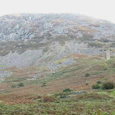
The summit sits above an igneous rock formation from the Palaeozoic era, part of a distinct geological system that shaped the entire Llŷn region. Visitors paying attention to the exposed rock faces along the slopes can spot the characteristics of this ancient geological event.
The community of curious travelers
AroundUs brings together thousands of curated places, local tips, and hidden gems, enriched daily by 60,000 contributors worldwide.