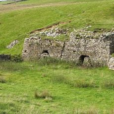
Lost John's Cave, Underground cave system in Leck Fell, England
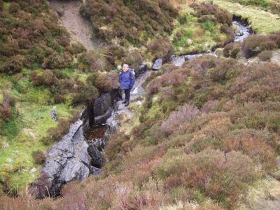
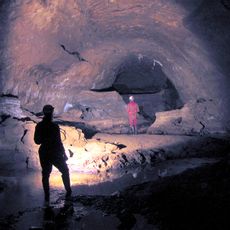
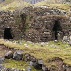
Lost John's Cave is an underground limestone system beneath Leck Fell with multiple passages and chambers connecting through different routes. The network stretches horizontally and vertically, creating a complex maze where visitors can explore varied cave formations and water-worn channels.
The cave was first systematically explored and mapped in 1928, marking the start of organized speleological study in the Lancashire limestone region. Over decades, research expanded and revealed its connection to a larger underground network beneath the surrounding fells.
The cave system holds significance for British speleologists who regularly conduct research and mapping activities within its extensive network of passages.
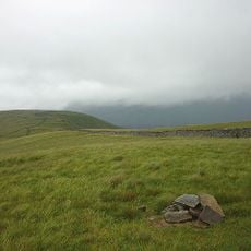
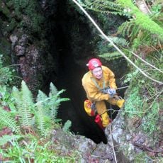
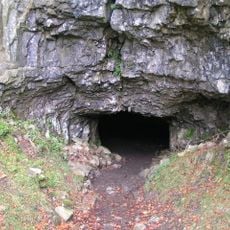
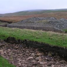
Multiple entrances allow access to different parts of the cave system and various exploration routes. Underground streams and water channels require proper equipment and preparation depending on which passages you plan to explore.
The cave system connects to a wider Three Counties network where water-filled sections can be traversed even in wet weather using specific passages. This makes it unusually accessible for underground caving compared to similar limestone systems in northern England.
The community of curious travelers
AroundUs brings together thousands of curated places, local tips, and hidden gems, enriched daily by 60,000 contributors worldwide.