Green Hill, Mountain summit in Lancashire, England
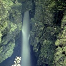
Green Hill is a mountain summit in Lancashire, sitting at 628 meters above sea level within the Yorkshire Dales National Park. It forms a watershed between the River Dee and Leck Beck, two streams that both drain into the River Lune.
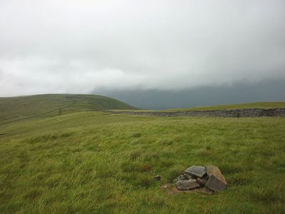
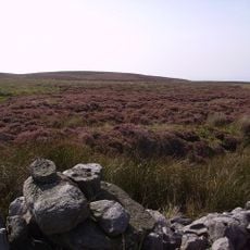
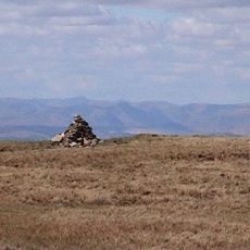
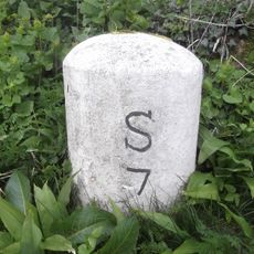
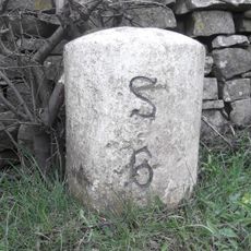
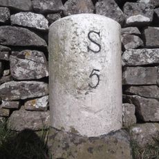
This upland area once sat at the meeting point of Westmorland, Yorkshire, and Lancashire, three historic counties that shaped much of northern England. The County Stone near the top was placed there to mark that triple boundary on the ground.
The County Stone, a glacial boulder near the top, once sat at the meeting point of three historic counties and still stands there today. Walkers often stop at it as a physical reminder of how county boundaries once divided this upland area.
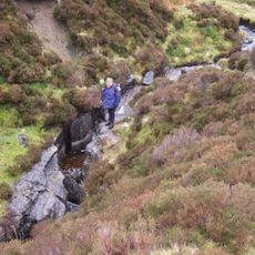
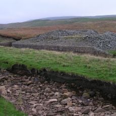
The summit is reached by walking trails that cross open moorland, so sturdy footwear and waterproof layers are a good idea whatever the season. Weather at this height can shift fast, so it is worth checking the forecast before heading out.
A second knoll about 450 meters south of the main top reaches almost exactly the same height as the summit itself. The two high points are close enough that walkers sometimes pass the main top without realizing it is the highest spot.
The community of curious travelers
AroundUs brings together thousands of curated places, local tips, and hidden gems, enriched daily by 60,000 contributors worldwide.