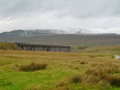
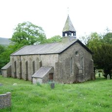
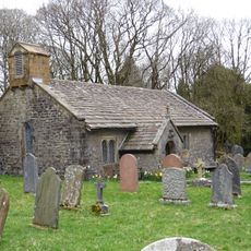
Whernside, Mountain summit in Yorkshire Dales, England
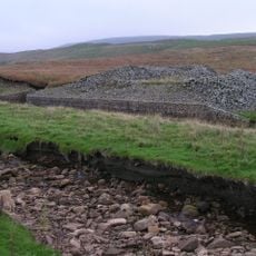
Whernside is a limestone ridge in the Yorkshire Dales with its highest point reaching 736 meters. The long formation stretches across the landscape and shapes the character of the surrounding area.
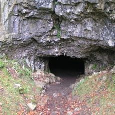
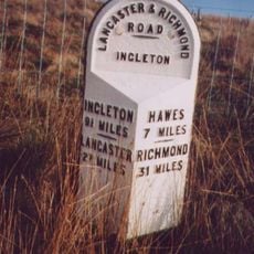
The name first appeared in written records during 1208 as Querneside, referring to the hillside where millstones were produced. This connection to stone working has roots deep in the local past.
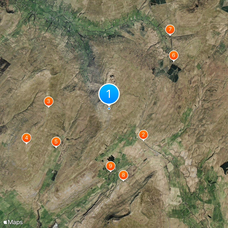
The mountain is central to the Yorkshire Three Peaks Challenge, a traditional hiking event where walkers connect three main summits across the region.
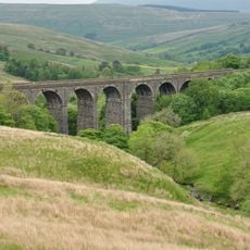
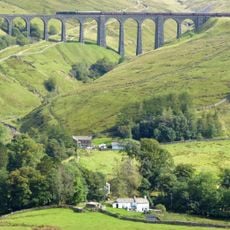
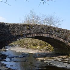
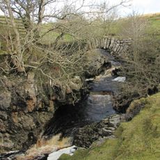
Several marked trails lead to the summit, with the main path starting from the Ribblehead Viaduct parking area. Hikers should be prepared for changing weather, as the elevated ridge can become exposed quickly.
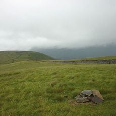
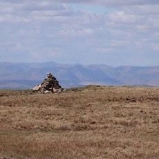
On clear days, visitors from the summit can see across multiple counties, including views toward Morecambe Bay and distant landmarks far across the landscape. This far-reaching view across the land is one of the most striking aspects of standing here.
Location: Dent
Location: Ingleton
Location: Thornton in Lonsdale
Elevation above the sea: 736 m
Made from material: limestone
GPS coordinates: 54.22778,-2.40258
Latest update: December 7, 2025 10:02
Ribblehead Viaduct
2.9 km
Green Hill
3.7 km
Gragareth
5.5 km
Yordas Cave
4 km
Dent Head Viaduct
4.9 km
Arten Gill viaduct
5.8 km
Great Douk Cave
4.5 km
Weathercote Cave
3.9 km
St John the Evangelist's Church, Cowgill
5.8 km
Crag Hill
5 km
Church of St Leonard
4.2 km
Sportsmans Inn
5.7 km
Ewegales Bridge
5.7 km
MILESTONE
3.5 km
Milestone
4.6 km
Gibbs Hall
5 km
Milestone (Sedbergh 8) Approximately 200 Metres East Of Broadfield Lane On South Side Of Road
5 km
Boundary Stone
5.6 km
Milestone (Sedbergh 7) Approximately 170 Metres West Of Sundial Cottage
5.3 km
Footbridge Over Thorn Gill (At Ngr 777794)
4.3 km
Milestone (Sedbergh 11) Opposite Small Barn At Studley Garth (Not Included)
5 km
Milestone
3.6 km
Milestone (Sedbergh 10) Approximately 120 Metres South East Of Sportsmans Inn
5.7 km
Milestone
5.3 km
Milestone (Sedbergh 9) On South Side Of Road Approximately 50 Metres South West Of Cowgill Bridge
5.8 km
Milestone
5.9 km
Apron Full of Stones cairn
3.9 km
Milestone, under Raven Scar
6.3 kmVisited this place? Tap the stars to rate it and share your experience / photos with the community! Try now! You can cancel it anytime.
Discover hidden gems everywhere you go!
From secret cafés to breathtaking viewpoints, skip the crowded tourist spots and find places that match your style. Our app makes it easy with voice search, smart filtering, route optimization, and insider tips from travelers worldwide. Download now for the complete mobile experience.
A unique approach to discovering new places❞
— Le Figaro
All the places worth exploring❞
— France Info
A tailor-made excursion in just a few clicks❞
— 20 Minutes