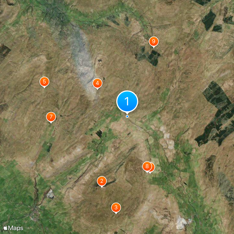
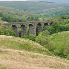
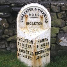
Ribblehead Viaduct, Railway viaduct in North Yorkshire, England
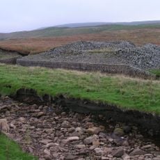
Ribblehead Viaduct is a railway crossing in Batty Moss valley in North Yorkshire, England, stretching roughly 400 meters in length. The construction consists of 24 stone arches that rise up to 32 meters (105 feet) above the moorland and carry a working rail line.
Construction began in 1869 and lasted five years, with more than 100 workers losing their lives during the work. Completion in 1874 allowed direct rail connection between settlements and the far north of England through this difficult moorland terrain.
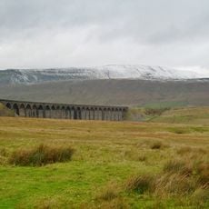
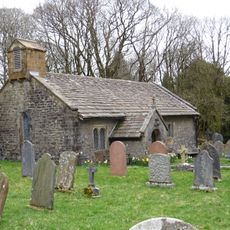
Local people regard the structure as a symbol of the railway age that connected remote moorland with urban centers. Walkers often pause to watch trains rolling slowly across the row of arches, sounding whistles that echo across the wide valley floor.
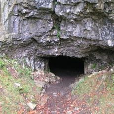
Visitors can walk across the valley floor and view the structure from several vantage points along the footpaths. The terrain is often wet and muddy, so sturdy walking boots and weatherproof clothing are recommended for any visit.
The foundation piers rest directly on layers of limestone beneath the moorland surface, with each pier built using up to 163,000 bricks. Engineers used brick cores inside the visible stone cladding to distribute the enormous weight evenly across the soft ground.
The community of curious travelers
AroundUs brings together thousands of curated places, local tips, and hidden gems, enriched daily by 60,000 contributors worldwide.