Arten Gill viaduct, Railway viaduct in Dentdale, England
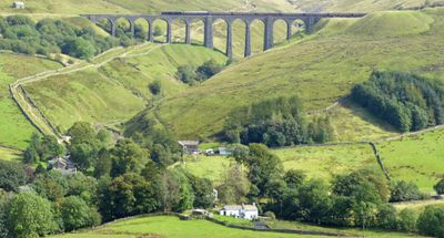
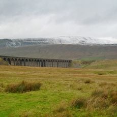
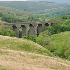
The Arten Gill viaduct is a railway viaduct in Dentdale that stretches across Artengill Beck on eleven stone arches. Each arch measures about 45 feet in width and the structure rises about 117 feet above the water level.
Construction began in May 1871 as part of the Settle-Carlisle Railway project and required large quantities of stone. Much of this stone was quarried from beneath the structure itself.
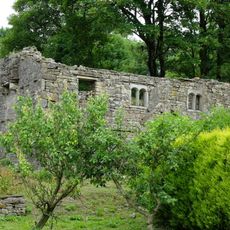
The structure shows Victorian craftsmanship and uses local Dent marble, a dark limestone traditionally used for decorative stonework in the region. Walking beneath the arches lets you see how the material was worked and the care builders took with details.
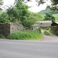
The viaduct is easily reached from local roads around Dent and lies near Dent Station. The best views of the structure come from paths along the creek or from the B6255 road.
The viaduct's foundations reach about 55 feet deep into bedrock with widened central piers. These wider piers were a safety measure to prevent a domino-effect collapse if one arch failed.
The community of curious travelers
AroundUs brings together thousands of curated places, local tips, and hidden gems, enriched daily by 60,000 contributors worldwide.