Great Knoutberry Hill, Mountain summit in Yorkshire Dales National Park, England.
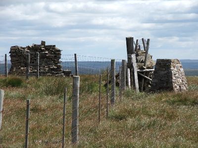
Great Knoutberry Hill is a mountain summit in the Yorkshire Dales National Park reaching 672 meters and marked by distinctive features at its peak. A trig point and wind shelter sit at the top, providing landmarks that help walkers navigate the moorland terrain.
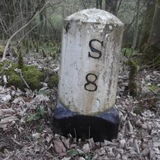
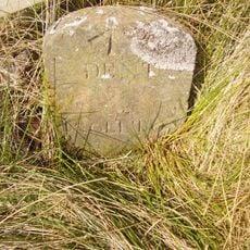
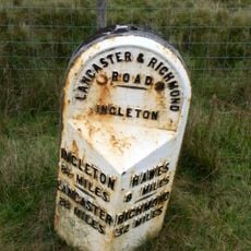
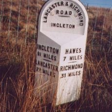
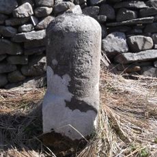
The summit historically marked the boundary between West Riding and North Riding of Yorkshire, as well as between Cumbria and North Yorkshire. This border function made the mountain an important reference point in medieval and early modern regional administration.
The name comes from cloudberries, Nordic fruits rarely found in Britain, blended with the Middle English word 'Knot' for hills. This naming reflects the region's historical connections to Scandinavian trade routes.
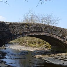
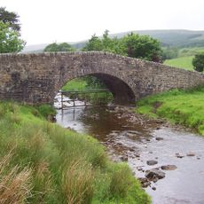
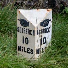
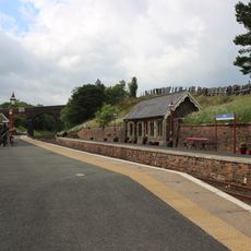
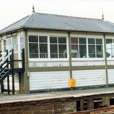
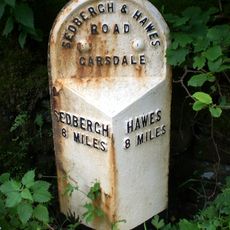
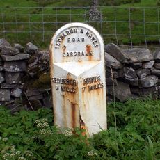
The summit is best reached by following the bridleway along Arten Gill or Coal Road, with well-worn paths that are straightforward to navigate. Dent Station on the Settle-Carlisle railway line offers a convenient arrival point for visitors who prefer public transport access.
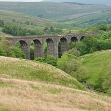
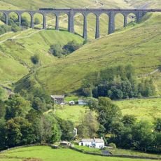
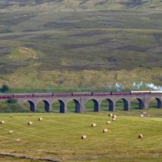
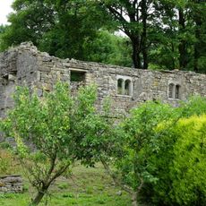
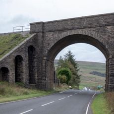
The mountain sits near the impressive Victorian viaducts of Dent and Arten Gill, constructed between 1869 and 1875 using local Dent Marble. These structures are remarkable examples of Victorian railway engineering and craftsmanship.
Elevation above the sea: 672 m
GPS coordinates: 54.27962,-2.32615
Latest update: December 14, 2025 14:42
Dent Head Viaduct
3 km
Arten Gill viaduct
1.8 km
Dandrymire Viaduct
5.2 km
St John the Evangelist's Church, Cowgill
3.3 km
Church of St John the Baptist
4.9 km
Sportsmans Inn
2.2 km
Dandra Garth
4.4 km
Ewegales Bridge
3.3 km
Widdale Bridge
3.9 km
Garsdale Milestone Immediately East Of Boundary Marker
5.4 km
Passenger Waiting Room On East Side Of Railway Track At Dent Station
2.4 km
Gibbs Hall
5.4 km
Milestone (Sedbergh 8) Approximately 200 Metres East Of Broadfield Lane On South Side Of Road
4.8 km
Boundary Stone
3.7 km
Garsdale Signal Box
4.7 km
Milestone (Sedbergh 8) Approximately 5 Metres East Of Scar Foot Bridge
3.8 km
Milestone (Sedbergh 9) Approximately 250 Metres East Of Harding Bridge (Not Included)
4.6 km
Moorcock Road railway bridge
5.4 km
Milestone (Sedbergh 11) Opposite Small Barn At Studley Garth (Not Included)
2.7 km
Milestone (Sedbergh 10) Approximately 120 Metres South East Of Sportsmans Inn
2.2 km
Milestone (Sedbergh 9) On South Side Of Road Approximately 50 Metres South West Of Cowgill Bridge
3.3 km
Milestone (Sedbergh 6) Approximately 75 Metres West Of Kirk Bridge
5.1 km
Milestone (Sedbergh 7) Approximately 10 Metres West Of East Little Town
4.1 km
Milestone
5.6 km
Milestone
4.2 km
Milestone, just N of West/North Ridings boundary
2.9 km
Garsdale Boundary Marker At Country Boundary Of North Yorkshire And Cumbria
5.4 km
Milestone, S of bridge over Snaizeholme Beck & track to Widdale Side opposite
4.4 kmVisited this place? Tap the stars to rate it and share your experience / photos with the community! Try now! You can cancel it anytime.
Discover hidden gems everywhere you go!
From secret cafés to breathtaking viewpoints, skip the crowded tourist spots and find places that match your style. Our app makes it easy with voice search, smart filtering, route optimization, and insider tips from travelers worldwide. Download now for the complete mobile experience.
A unique approach to discovering new places❞
— Le Figaro
All the places worth exploring❞
— France Info
A tailor-made excursion in just a few clicks❞
— 20 Minutes