Gragareth, Mountain summit in Yorkshire Dales National Park, England
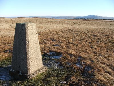
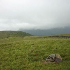
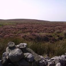
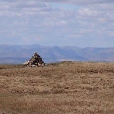
Gragareth is a summit in the Yorkshire Dales National Park in northern England, marked at the top by a small cairn and a trig point. The fell sits on a broad, boggy ridge that forms a natural boundary between Lancashire and North Yorkshire.
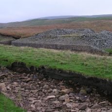
The area was once known as Greygarth Fell and sat along the old county boundary between Lancashire and North Yorkshire. One of England's longest dry stone walls runs along the ridge, a sign of how this land was managed for farming over many centuries.
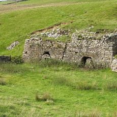
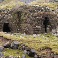
The three stone towers on the western side of the summit have long been used as landmarks by walkers crossing this open moorland. They remain practical reference points today for anyone moving along the ridge.
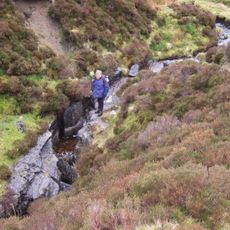
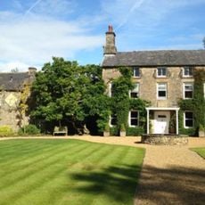
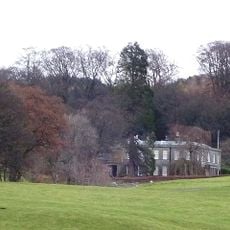
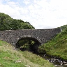
The summit can be reached on a circular route starting from Leck Fell House, where parking is available near the entrance gate. The path crosses open, exposed ground, so good footwear and waterproof clothing are worth bringing regardless of the forecast.
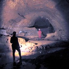
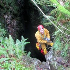
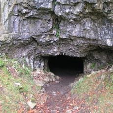
Several cave systems lie beneath the limestone surface of the fell, among them Lost John's Cave, Rumbling Hole, and Ireby Fell Cavern. These underground passages are well known to cavers but remain out of sight for most walkers passing above them.
The community of curious travelers
AroundUs brings together thousands of curated places, local tips, and hidden gems, enriched daily by 60,000 contributors worldwide.