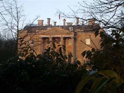
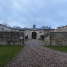
Bletchingdon Park, Grade II* listed house in Bletchingdon, England.
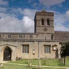
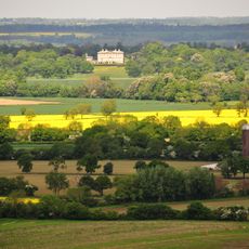
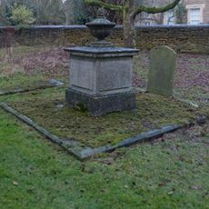
Bletchingdon Park is a Palladian country house from the 18th century in the village of Bletchingdon, Oxfordshire, England, standing directly beside the parish church. The building has a symmetrical stone facade and sits within open grounds that separate it from the rest of the village.
The house was built in 1782 by architect James Lewis for the 5th Earl of Anglesey, replacing an older manor that had been connected to the First English Civil War. The new construction marked a complete rethinking of the site in the late 18th century.
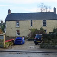
Since 1975 the building has housed a language school, and today the grounds feel like a working campus rather than a private estate. Students from many countries move through spaces that were once reserved for a single aristocratic family.
The property carries Grade II* listed building status, so some areas may be restricted or private. It is worth checking access in advance before making the trip, as public entry to the grounds is not always guaranteed.
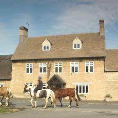
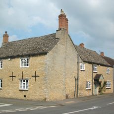
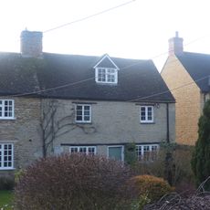
Several houses on the north side of the village green were demolished to make room for the estate. This reshaping of the settlement is still visible today in the way the village green sits open on one side with no buildings facing it.
The community of curious travelers
AroundUs brings together thousands of curated places, local tips, and hidden gems, enriched daily by 60,000 contributors worldwide.