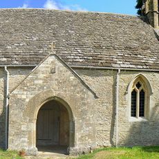
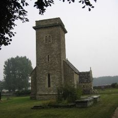
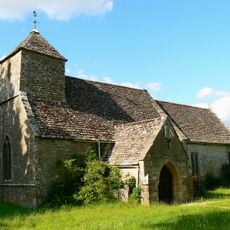
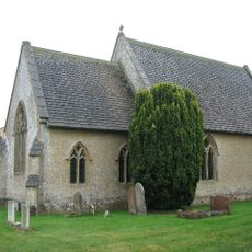
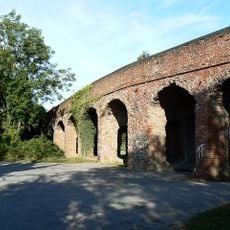
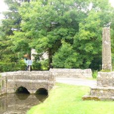
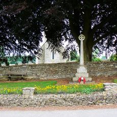
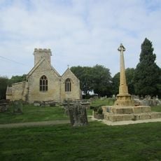
Church of All Hallows, Medieval church in South Cerney, England
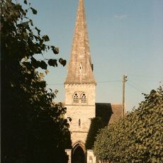
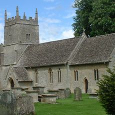
Church of All Hallows is a church building in South Cerney featuring thick stone walls and rounded Norman arches throughout its structure. A central tower dominates the exterior, though it originally carried a spire that was removed in 1857.
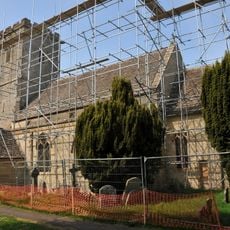
Construction began around 1150, and the building underwent significant changes and extensions throughout medieval times. A major restoration led by architect James Piers St Aubyn in 1862 substantially modernized the structure.
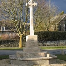
The interior holds marble wall monuments from the 18th and 19th centuries, created by prominent families to honor their deceased relatives. These monuments reflect how the local community valued remembrance and social standing through their burial practices.
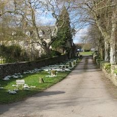
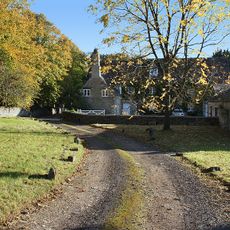
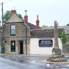
The building sits on Church Lane and is easily accessible on foot. Be aware that regular religious services take place and the building is sometimes in use for weddings, baptisms, and other ceremonies.
Archaeological investigations in 1999 uncovered medieval burial pits in the churchyard, revealing intensive use of the site over many centuries. The discoveries suggest this location held particular importance for the local population over time.
Location: South Cerney
Inception: 12 century
GPS coordinates: 51.67480,-1.92920
Latest update: December 14, 2025 16:42
Cotswold Water Park
3.2 km
Ashton Keynes Castle
2.8 km
All Saints Church, Shorncote
2.5 km
Wildmoorway Meadows
1.7 km
Church of St Mary
3.5 km
Church of the Holy Cross, Ashton Keynes
3.1 km
Church of St Michael
3.7 km
Church of St Peter
3.2 km
Church of All Saints
3.8 km
Church of Holy Trinity
2.9 km
Church of All Saints
3.6 km
The Bakers Arms
3.7 km
Bridge on The Derry
3.7 km
Former Road Bridge On Dismantled Railway
1.7 km
Medieval cross immediately south of Gumstool Bridge
3.2 km
South Cerney War Memorial
462 m
Church Farmhouse
3.6 km
Milestone By Westfield Farm
3.5 km
The Round House
2.4 km
Village Hall
278 m
Preston Mill
3.3 km
Radnor
631 m
The Old George
161 m
The Manor House
3.7 km
The Greyhound
2.7 km
Medieval village cross at the junction of Park Place and the High Road 210m south of Gumstool Bridge
3.3 km
Driffield War Memorial, Gloucestershire
3.4 km
Medieval cross 40m east of Holy Cross Church
3 kmVisited this place? Tap the stars to rate it and share your experience / photos with the community! Try now! You can cancel it anytime.
Discover hidden gems everywhere you go!
From secret cafés to breathtaking viewpoints, skip the crowded tourist spots and find places that match your style. Our app makes it easy with voice search, smart filtering, route optimization, and insider tips from travelers worldwide. Download now for the complete mobile experience.
A unique approach to discovering new places❞
— Le Figaro
All the places worth exploring❞
— France Info
A tailor-made excursion in just a few clicks❞
— 20 Minutes