Cotswold Water Park, Protected wetlands and lakes in Gloucestershire-Wiltshire, England
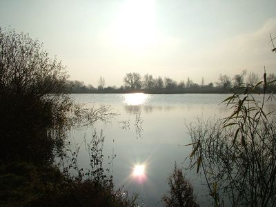
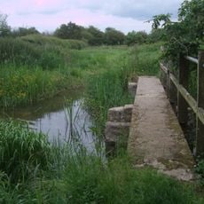
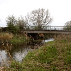
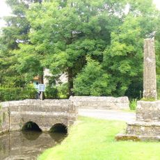
Cotswold Water Park forms a network of 180 lakes scattered across 42 square miles between Gloucestershire and Wiltshire, created by commercial gravel extraction. Reed-lined shores, wet meadows, and shallow bays alternate throughout the site, forming different habitats for birds, dragonflies, and other wildlife.
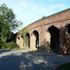
Gravel mining started in the early 20th century and left behind deep pits that filled with groundwater, transforming into protected wetlands from the 1960s onward. Official recognition as a conservation site followed in later decades, securing the preservation of these newly formed lakes.
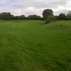
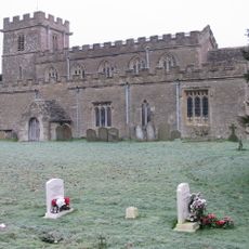
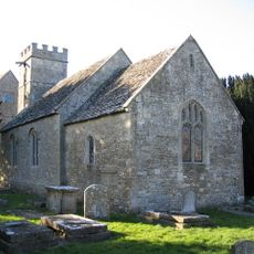
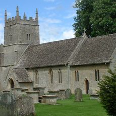
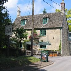
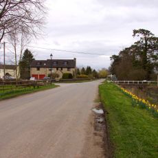
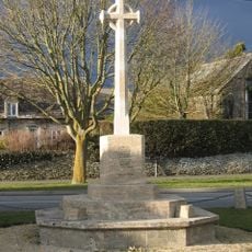
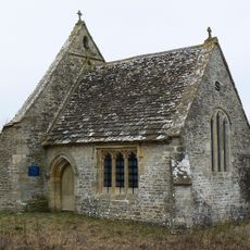
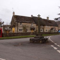
Residents from nearby towns recall a time when these grounds supported gravel trucks and conveyor belts before water filled the pits and vegetation returned. The lakes now host sailing clubs, fishing groups, and walking paths that connect rural hamlets across two counties.
Multiple entry points with parking lead to different areas of the site, allowing visitors to choose where they wish to start exploring. A visitor center offers maps and general guidance on water sports opportunities and walking trails.
Colonies of Lesser Emperor dragonflies first appeared in these waters in 2006, marking a northward expansion of the species in Britain. The dragonflies are now regularly spotted along the shore zones, especially on warm summer days.
The community of curious travelers
AroundUs brings together thousands of curated places, local tips, and hidden gems, enriched daily by 60,000 contributors worldwide.