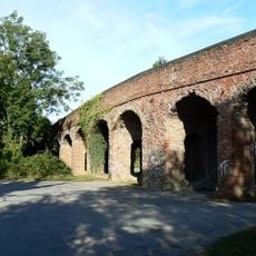
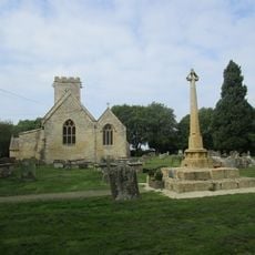
Ashton Keynes Castle, Medieval castle ruins in Ashton Keynes, England
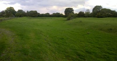
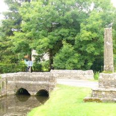
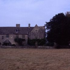
Ashton Keynes Castle comprises the remains of a defensive structure with a ringwork fortification surrounded by ditches and two baileys: an inner enclosure on the west side and an outer one extending toward the south. The layout shows how the site was designed to provide multiple layers of protection.
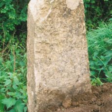
The Keynes family built this fortification in the 12th century as a defensive position controlling the local area. Over time the structure shifted from serving military purposes to functioning as a residential dwelling.
The site held significance for the Keynes family and their community as a center of local power and residence. Visitors can observe how the layout reflects the shift from military use to domestic life.
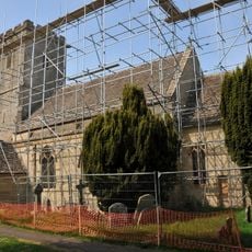
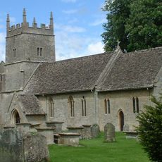
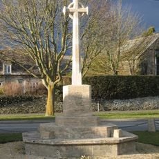
The ruins are accessible by daylight from Back Street in the village center and can be explored on foot at your own pace. Roadside parking is available to help you reach the site with ease.
Excavations in 1959 unearthed floor tiles, glazed pottery, and other artifacts from the 12th to 13th centuries. These findings suggest the residents enjoyed refined domestic goods and a comfortable standard of living.
Location: Ashton Keynes
GPS coordinates: 51.64929,-1.93062
Latest update: December 9, 2025 20:22
Cotswold Water Park
1.9 km
Church of All Hallows
2.8 km
All Saints Church, Leigh
2.7 km
All Saints Church, Shorncote
3.3 km
Elmlea Meadows
3.1 km
Wildmoorway Meadows
3.3 km
Church of the Holy Cross, Ashton Keynes
735 m
Church of All Saints
3.4 km
Church of Holy Trinity
3.1 km
Midland and South Western Junction Railway bridge
3.4 km
The Bakers Arms
3.2 km
Unnamed footbridge
1.3 km
Stones Lane footbridge
3.1 km
Waterhay bridge
1.7 km
Bridge on The Derry
856 m
Leigh War Memorial
2.7 km
Leigh All Saints Old Chancel
1.9 km
Former Road Bridge On Dismantled Railway
2.3 km
South Cerney War Memorial
2.4 km
Medieval cross immediately south of Gumstool Bridge
488 m
Milestone At Calowe Hill
3.2 km
Radnor
2.4 km
Manor House
3.4 km
Village Hall
2.7 km
The Old George
2.7 km
Medieval village cross at the junction of Park Place and the High Road 210m south of Gumstool Bridge
564 m
Medieval cross 40m east of Holy Cross Church
695 m
Milestone, Minety Road; Calowe Hill, in front of Brookdeen House by drive to Leighfield Lodge Farm
3.2 kmVisited this place? Tap the stars to rate it and share your experience / photos with the community! Try now! You can cancel it anytime.
Discover hidden gems everywhere you go!
From secret cafés to breathtaking viewpoints, skip the crowded tourist spots and find places that match your style. Our app makes it easy with voice search, smart filtering, route optimization, and insider tips from travelers worldwide. Download now for the complete mobile experience.
A unique approach to discovering new places❞
— Le Figaro
All the places worth exploring❞
— France Info
A tailor-made excursion in just a few clicks❞
— 20 Minutes