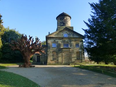
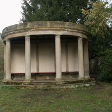
Church In Bretton Park, Georgian church building in West Bretton, England.
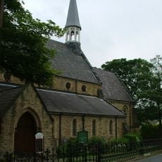
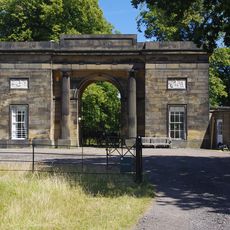
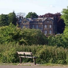
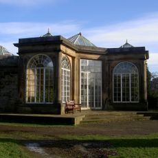
Church in Bretton Park is a Georgian church built in 1744 in West Bretton with symmetrical facades and a Doric entrance portico. The stone structure shows careful craftsmanship typical of its period and holds Grade II* listed status, marking it as architecturally significant.
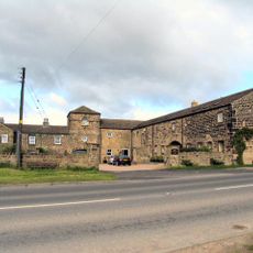
The church was built in 1744 by William Wentworth during a period of growing church construction in Yorkshire. Its location appears on historical maps, showing it became an established landmark in this rural area from the 18th century onward.
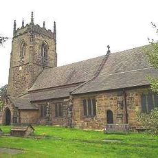
The church serves as a center for religious gatherings and community life in West Bretton, continuing its role as a gathering place for locals. It sits naturally within the surrounding parkland, becoming part of how residents and visitors experience this rural landscape.
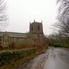
The site is accessible on foot from the surrounding parkland and offers views over the landscape toward the nearby river. Visitors should check ahead for service times and access arrangements, as the building remains an active place of worship.
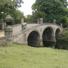
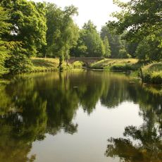
The building sits near the River Dearne, with views across toward the water and surrounding greenery from its position. This location between river valley and parkland creates a quiet setting that feels removed from busier areas.
The community of curious travelers
AroundUs brings together thousands of curated places, local tips, and hidden gems, enriched daily by 60,000 contributors worldwide.