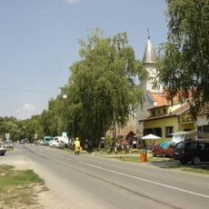
Podrinje, Markušica, settlement in the Municipality of Markušica, Vukovar-Srijem County, Croatia
Location: Markušica
Location: Vukovar-Srijem County
GPS coordinates: 45.39200,18.69100
Latest update: October 15, 2025 21:30
Tenja
12.9 km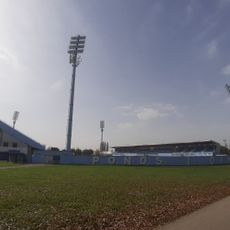
Stadion HNK Cibalia
14.6 km
Bobota
13.3 km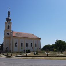
Laslovo
2.6 km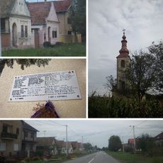
Pačetin
12.6 km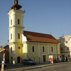
Church of Pentecost
14.7 km
Ćelije
10.3 km
Gaboš
5.7 km
Ostrovo
2.4 km
Antin
4.8 km
Korog
4.5 km
Mlaka Antinska
6.3 km
Klisa
14.5 km
Palača, Šodolovci
3.1 km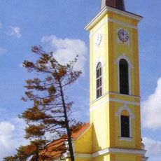
Ivanovac
10.7 km
Ada
2.2 km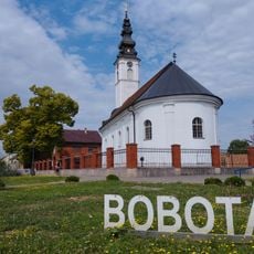
Church of St. George
15.3 km
Karadžićevo
6.4 km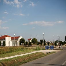
Vrbica, Semeljci
14.2 km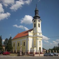
Church of Pentecost
6.7 km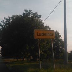
Ludvinci
10.5 km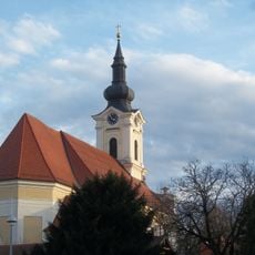
Church of Saints Eusebius and Polion
14.5 km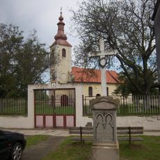
Church of St. Nicholas
12.6 km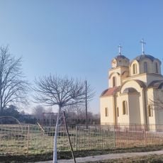
Silaš
7.2 km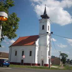
Church of the Nativity of the Virgin Mary
14 km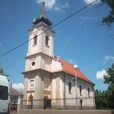
Church of the Nativity of Saint John the Baptist
9.7 km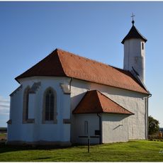
Novi Mikanovci
13.8 km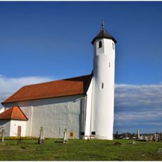
St. Bartholomew's Church in Novi Mikanovci
14.3 kmVisited this place? Tap the stars to rate it and share your experience / photos with the community! Try now! You can cancel it anytime.
Discover hidden gems everywhere you go!
From secret cafés to breathtaking viewpoints, skip the crowded tourist spots and find places that match your style. Our app makes it easy with voice search, smart filtering, route optimization, and insider tips from travelers worldwide. Download now for the complete mobile experience.

A unique approach to discovering new places❞
— Le Figaro
All the places worth exploring❞
— France Info
A tailor-made excursion in just a few clicks❞
— 20 Minutes