
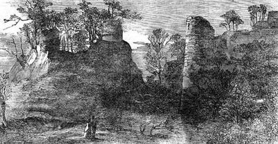
Red Castle, castle in Shropshire, England, UK
Location: Weston-under-Redcastle
GPS coordinates: 52.86060,-2.63758
Latest update: March 5, 2025 09:51

Hawkstone Park
555 m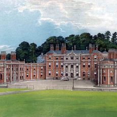
Hawkstone Hall
1.1 km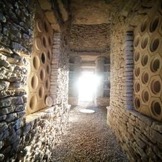
Soulton Long Barrow
3.1 km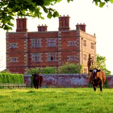
Soulton Hall
2.9 km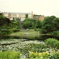
Hodnet Hall
3.9 km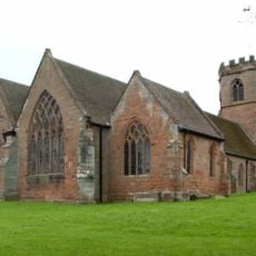
St Luke's Church, Hodnet
4.1 km
Bury Walls
2 km
Wollerton Old Hall Garden
5.2 km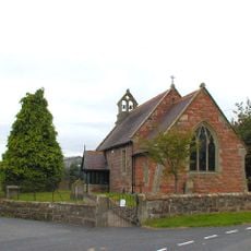
Church of St Peter
3.4 km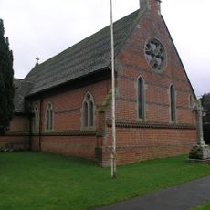
Church of Immanuel
3.7 km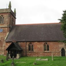
Church of St Luke
914 m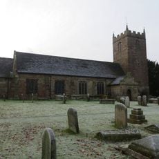
Church of St Chad
4.3 km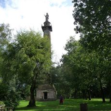
Rowland Hill Monument
760 m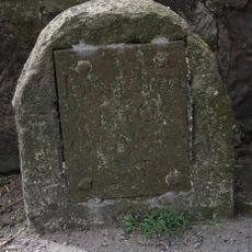
Milestone At Ngr Sj 5829 3402
4.7 km
22, Marchamley
2.5 km
Wollerton Old Hall
5.3 km
Lychgate approximately 35 metres to east of Church of St Luke
4.2 km
The Albion Public House And Adjoining Stables To East
5.5 km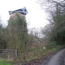
Disused windmill at NGR SJ 56652 29724
595 m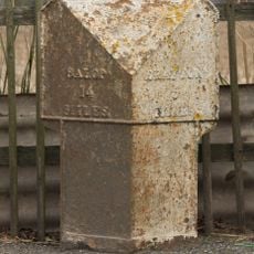
Milepost Approximately 15 Metres To South West Of Stone Stone House
4.8 km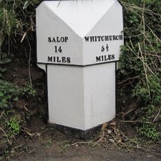
Milepost At Ngr Sj 5545 3298
4 km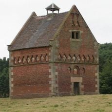
Hodnet Hall Dovecote
4 km
The Dell
4.3 km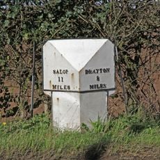
Mile Post Approximately 18 Metres South East Of Lodgebank
4.3 km
Former Lock Up
4.5 km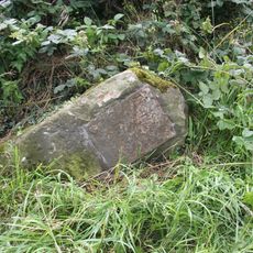
Milestone At N.G.R. Sj 5982 3378
5.1 km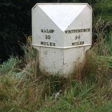
Milepost Approximately 85 Metres To West Of Bridleway Gate
4.5 km
Milepost, Palms Hill, NW entrance to Pantulf House
5.3 kmReviews
Visited this place? Tap the stars to rate it and share your experience / photos with the community! Try now! You can cancel it anytime.
Discover hidden gems everywhere you go!
From secret cafés to breathtaking viewpoints, skip the crowded tourist spots and find places that match your style. Our app makes it easy with voice search, smart filtering, route optimization, and insider tips from travelers worldwide. Download now for the complete mobile experience.

A unique approach to discovering new places❞
— Le Figaro
All the places worth exploring❞
— France Info
A tailor-made excursion in just a few clicks❞
— 20 Minutes