
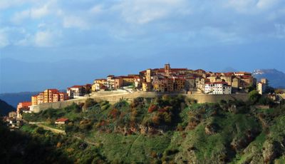
Salvitelle, Italian comune
Location: Province of Salerno
Capital city: Salvitelle
Elevation above the sea: 630 m
Shares border with: Buccino, Caggiano, Vietri di Potenza, Auletta, Romagnano al Monte
Website: http://comune.salvitelle.sa.it
GPS coordinates: 40.59090,15.45876
Latest update: March 16, 2025 19:03
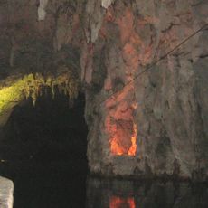
Pertosa Caves
6 km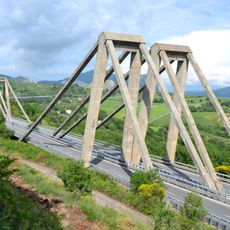
Carpineto viaduct
3 km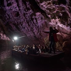
Pertosa-Auletta Grotte
6 km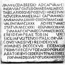
Lapis Pollae
9.2 km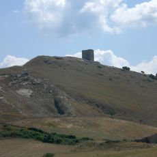
Satrianum
14.9 km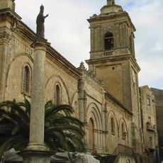
Chiesa Madre San Gregorio Magno
8.5 km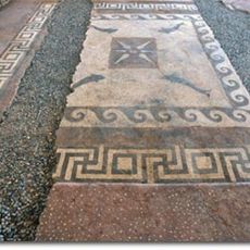
Parco archeologico urbano di Volcei
8.6 km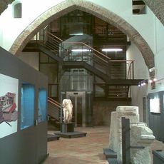
National archaeologica museum of Volcei
8.8 km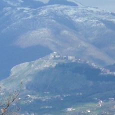
Castello di Palomonte
16.3 km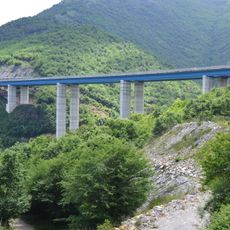
Sant'Onofrio Viaduct
6.6 km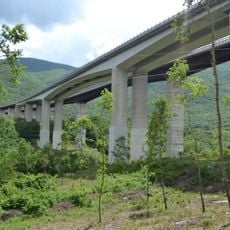
Incoronata Viaduct
9.5 km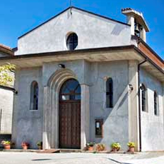
Chiesa di San Nicola
17.4 km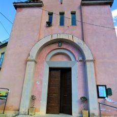
Chiesa di San Sebastiano
89 m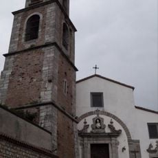
San Nicola di Bari
15.9 km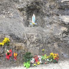
Santuario della Madonna di Lourdes
4.6 km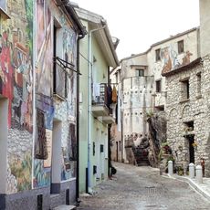
Percorso dei murales
9.8 km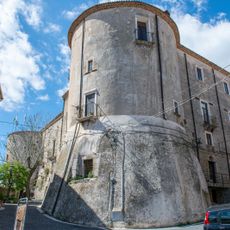
Castello normanno del Guiscardo
3.7 km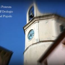
Clock tower
4.4 km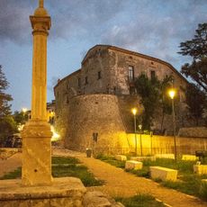
Castello Maioli Castriota Scanderbech
4.6 km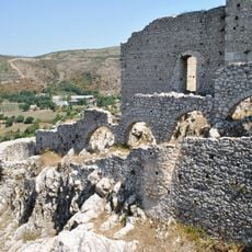
Castello Normanno
8.5 km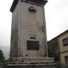
Epitaph
4.2 km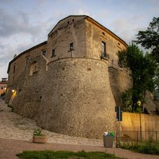
Castello Marchesale
4.6 km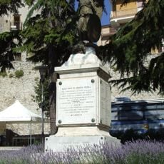
War memorial in Caggiano
3.7 km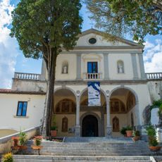
Santuario di Sant'Antonio
9.3 km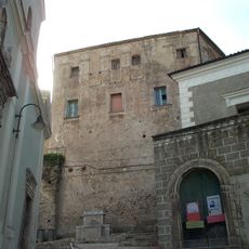
Salviano Castle
8.2 km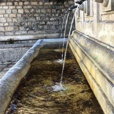
Fontana Nova wash house
4.3 km
Grotta di Cesare fountain
4.6 km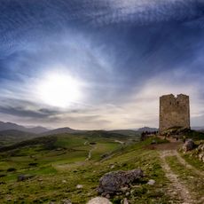
Torre di Satriano
15.4 kmReviews
Visited this place? Tap the stars to rate it and share your experience / photos with the community! Try now! You can cancel it anytime.
Discover hidden gems everywhere you go!
From secret cafés to breathtaking viewpoints, skip the crowded tourist spots and find places that match your style. Our app makes it easy with voice search, smart filtering, route optimization, and insider tips from travelers worldwide. Download now for the complete mobile experience.

A unique approach to discovering new places❞
— Le Figaro
All the places worth exploring❞
— France Info
A tailor-made excursion in just a few clicks❞
— 20 Minutes