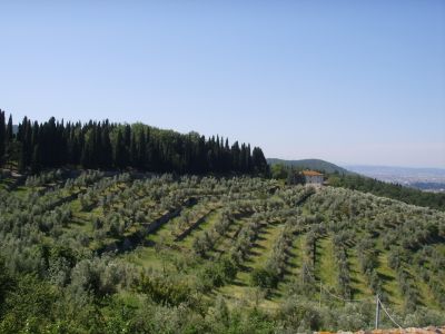
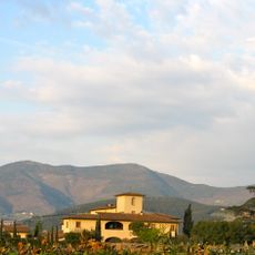
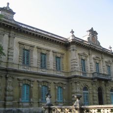
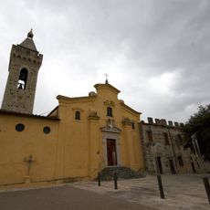
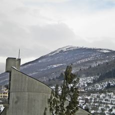
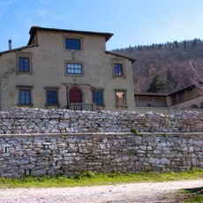
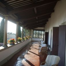
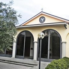
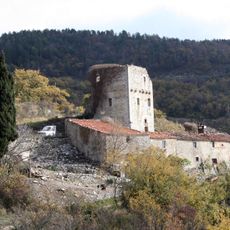
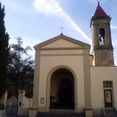
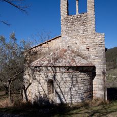
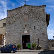
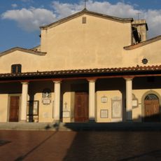
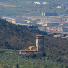
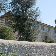
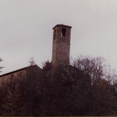
Calenzano, Italian comune
Location: Metropolitan City of Florence
Capital city: Calenzano
Elevation above the sea: 108 m
Shares border with: Barberino di Mugello, Campi Bisenzio, Prato, Sesto Fiorentino, Vaglia, Vaiano, San Piero a Sieve, Scarperia e San Piero
Website: http://comune.calenzano.fi.it
GPS coordinates: 43.85667,11.16361
Latest update: March 7, 2025 12:11
Monte Morello
6.2 km
Museo Richard-Ginori
3 km
Villa Peragallo
744 m
Parco del Neto
2 km
Castello di Calenzano
772 m
Villa Ginori
4.7 km
Castello di Legri
8.3 km
San Donato
1.3 km
Monte Retaia
5.9 km
Villa-convento di Carmignanello
6.2 km
Villa Villoresi
3.9 km
Santa Maria delle Grazie
1.3 km
Torre di Baracca
6.3 km
Santa Maria a Carraia
4.4 km
Church of San Bartolomeo a Carmignanello
6.2 km
San Niccolò
779 m
Church of San Romolo a Colonnata
4.2 km
Torre di Baroncoli
3 km
Villa Capponi
3.6 km
Pieve di San Severo
8 km
Church of Santa Maria in Morello
4.3 km
Church of Santa Maria and San Jacopo a Querceto
3.4 km
San Rufignano
2.6 km
San Luca Evangelista alla Querce
2 km
Santa Lucia
1.6 km
Church of San Lorenzo
2 km
San Biagio a Cavagliano
5.1 km
Chiesa di Sant'Andrea a Cerreto Maggio
8.4 kmVisited this place? Tap the stars to rate it and share your experience / photos with the community! Try now! You can cancel it anytime.
Discover hidden gems everywhere you go!
From secret cafés to breathtaking viewpoints, skip the crowded tourist spots and find places that match your style. Our app makes it easy with voice search, smart filtering, route optimization, and insider tips from travelers worldwide. Download now for the complete mobile experience.
A unique approach to discovering new places❞
— Le Figaro
All the places worth exploring❞
— France Info
A tailor-made excursion in just a few clicks❞
— 20 Minutes