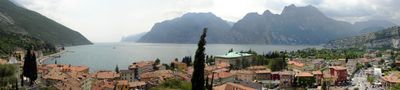
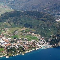
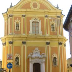
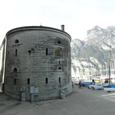
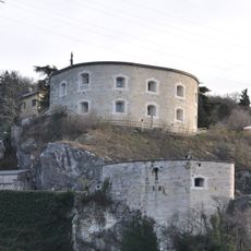
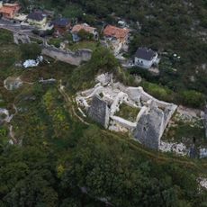
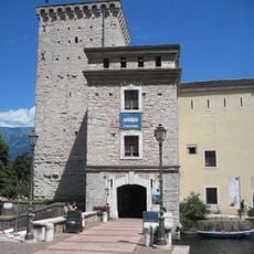
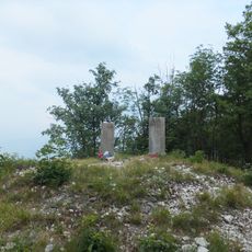
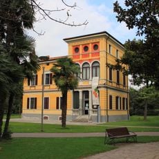
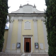
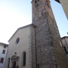
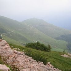
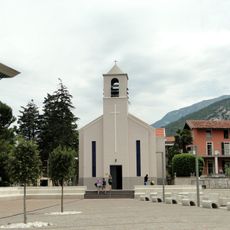
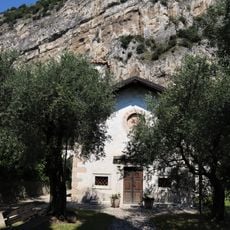
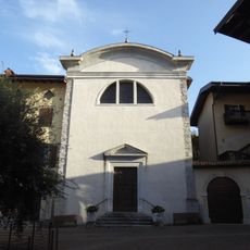
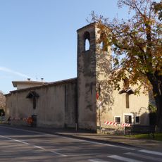
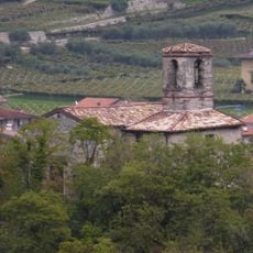
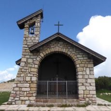
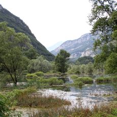
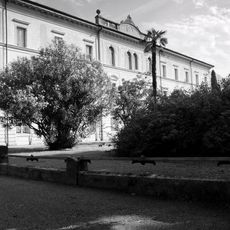
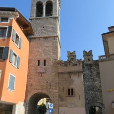
Nago–Torbole, Italian comune
Location: Trentino
Elevation above the sea: 65 m
Shares border with: Arco, Malcesine, Mori, Brentonico, Riva del Garda, Ledro
Website: http://comune.nago-torbole.tn.it
GPS coordinates: 45.87583,10.89111
Latest update: March 10, 2025 07:50
Fortezza di Riva
2.7 km
Monte Brione
1.6 km
Sentiero Busatte
2.8 km
Santa Maria Assunta church
4 km
Forte San Nicolò
2.7 km
Werk Nago
437 m
Rocca di Riva
3.9 km
Forte Garda
1.6 km
Castel Penede
436 m
MAG Museo Alto Garda
3.9 km
Doss Alto di Nago
2.4 km
Villino Campi
3.3 km
Saint Andrew church
1.3 km
Saint Vigilius church
190 m
Monte Campo
7.4 km
Santa Maria al Lago church
1.4 km
Santa Maria delle Vittorie church
1.4 km
Holy Trinity church
104 m
Saint Roch church
330 m
Saint Zeno church
86 m
San Tomaso
1.1 km
Saints Peter and Paul church
2.6 km
Maria Bambina church
3.3 km
San Michele
3.9 km
Assunta chapel
7.1 km
Isola di Sant'Andrea
2.4 km
Palazzo S. Francesco
3.8 km
Porta San Michele
4 kmReviews
Visited this place? Tap the stars to rate it and share your experience / photos with the community! Try now! You can cancel it anytime.
Discover hidden gems everywhere you go!
From secret cafés to breathtaking viewpoints, skip the crowded tourist spots and find places that match your style. Our app makes it easy with voice search, smart filtering, route optimization, and insider tips from travelers worldwide. Download now for the complete mobile experience.
A unique approach to discovering new places❞
— Le Figaro
All the places worth exploring❞
— France Info
A tailor-made excursion in just a few clicks❞
— 20 Minutes