Mount Rokuro, Wikimedia disambiguation page
Location: Naka
Elevation above the sea: 1,287.3 m
GPS coordinates: 33.83994,134.25864
Latest update: November 13, 2025 19:42
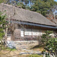
三木家住宅
14.6 km
Amagoi Falls
14.2 km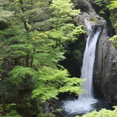
Ogama Falls
5.2 km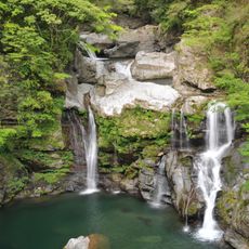
大轟の滝
3 km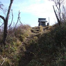
Mount Kumosa
8.1 km
Higan-ji
13.6 km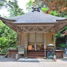
Kurotaki-ji
3.6 km
Mount Yamainu
12.7 km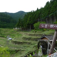
Kashihara no Tanada
12.2 km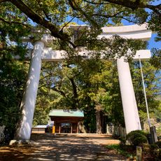
Usa hachiman-jinja
14.4 km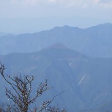
Mount Tōgū
13 km
妙法寺
12.4 km
Ishio-jinja
14.6 km
徳島県立高丸山千年の森
12.2 km
Unai-jinja
5.1 km
Hyakken Falls
12.9 km
赤帽子山
14.7 km
正善山
13.3 km
Mount Oryūdani
11.3 km
ほら貝の滝
14.6 km
川井峠展望台
11.7 km
徳島のへそ
6.1 km
旭丸峠完工之碑
12 km
殉職の碑
11 km
災害復旧記念碑
11.5 km
鳥居滝
11.3 km
フイゴ滝
11.3 km
雨乞の滝
14.2 kmReviews
Visited this place? Tap the stars to rate it and share your experience / photos with the community! Try now! You can cancel it anytime.
Discover hidden gems everywhere you go!
From secret cafés to breathtaking viewpoints, skip the crowded tourist spots and find places that match your style. Our app makes it easy with voice search, smart filtering, route optimization, and insider tips from travelers worldwide. Download now for the complete mobile experience.

A unique approach to discovering new places❞
— Le Figaro
All the places worth exploring❞
— France Info
A tailor-made excursion in just a few clicks❞
— 20 Minutes