Mount Kumosa, Mountain summit in Tokushima Prefecture, Japan.
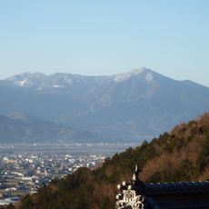
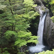
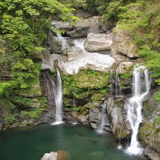
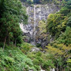
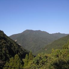
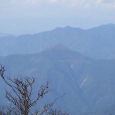
Mount Kumosa is a 1,496 m peak in the eastern part of the Tsurugisan range of the Shikoku Mountains, in Tokushima Prefecture. Its summit, marked by a small shrine to Kumoso Shrine and a second-order triangulation point, lies on a ridge that divides the headwaters of the Ayuigawa, Katsuura and Naka rivers. The ridge is gentle, while the valley heads below are steep and hold waterfalls such as Amagoi Falls and Ōgama Falls.
The mountain earned a place among the 100 Famous Shikoku Mountains, a selection recognizing important peaks throughout the region. This designation made it a well-known destination for hikers and climbers.
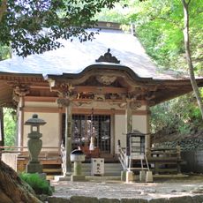
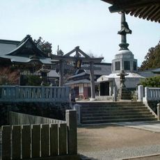
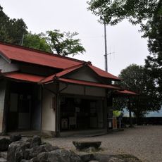
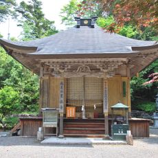
A small hokora of Kumoso Shrine stands on the summit, dedicated to a rain-making deity; its founding date is unknown, and branch shrines exist in Kamiyama to the north and in Naka (formerly Kisawa) to the south. The name's origin is unclear, but one explanation links it to clouds that quickly gather on the often cloud-covered summit of this rainy mountain.
Several hiking routes lead to the summit from different starting points in the surrounding municipalities. Visitors should prepare for changing weather conditions and varying difficulty levels across the different paths.
The summit holds a second-order triangulation point officially named Kumosō Yama, with an elevation of 1495.92 m as recomputed in December 2024. The ridge here splits in two around the Katsuura River system, one branch running northeast toward Asahigamaru and Nakatsumine-san, the other southwest toward Takamaru-yama.
The community of curious travelers
AroundUs brings together thousands of curated places, local tips, and hidden gems, enriched daily by 94,356 contributors worldwide.