Enable Location

We need your location to show you interesting places around you

Discover nearby places

Find interesting locations and hidden gems around you

Precise directions

Get accurate directions and distances to places

Your location is never shared with other users. It's only used when you tap the location button.

Mount Abura

Log in to your account

Start exploring — it's free

Trusted by 61,981 travelers worldwide

Continue with Google
Continue with Apple
or

We will send you a code to connect

By continuing, you accept our Terms and Conditions and our Privacy Policy

Check your inbox

We've sent a pincode in your inbox. Please enter the code below.

Mount Abura

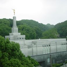
Mount Abura, Mountain summit in Minami-ku, Japan

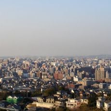
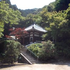
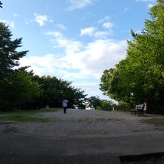
Mount Abura is a roughly 600-meter peak that spreads across three Fukuoka districts, featuring a citizens' forest with multiple hiking paths and natural features. The area includes waterfalls and rock formations accessible along marked trails.

During the Nara period, an Indian Buddhist priest named Seiga extracted camellia oil from seeds on the mountain, creating Japan's first such production. This ancient practice gave the mountain its name.

The mountain's name comes from its historical oil production, a legacy that remains part of local memory and identity. Visitors experience this heritage while walking through the forest and pausing at different viewpoints throughout the area.

The summit is reachable via a one-hour hike from Aburayama Denchi Guchi Bus Stop, with extra services running on weekends. Proper footwear and water are recommended, as trail conditions vary with the seasons.

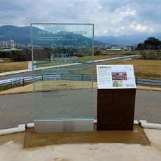
In August 1945, a wartime incident involving eight American B-29 crew members occurred on the mountain, now marked by a memorial. This monument preserves a lesser-known story from World War II embedded in the local landscape.

The community of curious travelers

AroundUs brings together thousands of curated places, local tips, and hidden gems, enriched daily by 60,000 contributors worldwide.

Start exploring
Location
Location
Location
Elevation above the sea
597 m
Address
福岡市南区大字桧原及び大字柏原並びに城南区大字東油山、大字片江及び大字梅林並びに早良区大字梅林、大字野芥、大字西油山、大字重留及び大字脇山
GPS coordinates
33.51204,130.36450
Latest update
December 7, 2025 20:25
« Mount Abura - Mountain summit in Minami-ku, Japan » is provided by Around Us (aroundus.com). Images and texts are derived from Wikimedia project under a Creative Commons license. You are allowed to copy, distribute, and modify copies of this page, under the conditions set by the license, as long as this note is clearly visible.

Discover hidden gems everywhere you go!

From secret cafés to breathtaking viewpoints, skip the crowded tourist spots and find places that match your style. Our app makes it easy with voice search, smart filtering, route optimization, and insider tips from travelers worldwide. Download now for the complete mobile experience.

Around Us App Screenshot

A unique approach to discovering new places

Le Figaro

All the places worth exploring

France Info

A tailor-made excursion in just a few clicks

20 Minutes

Around Us
Travel Guide & Maps
Download

Send to your phone

QR Code
1

Open the camera app on your mobile.

2

Point at the QR code with your camera. A notification will appear.

3

Tap the notification to open the link.