富田町, Historical district in Koriyama, Japan
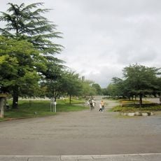
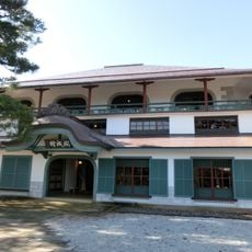
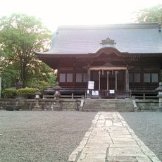
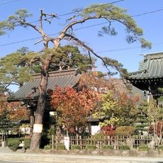
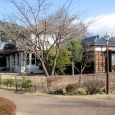
Tomita-machi is a residential district in Koriyama located on gentle slopes south of Mount Akagi. The area features the typical layout of a rural Japanese neighborhood with agricultural land and community facilities.
The area developed during the Edo period under the control of Maebashi Domain. It later became part of Gunma Prefecture through modern administrative changes.
The district maintains traditional Japanese neighborhood structures with local community centers and agricultural cooperative facilities serving residents.
The area connects to major roads through National Route 17, also called Jobu Road, making it accessible by vehicle. The gentle terrain makes the district easy to navigate on foot.
The district spans 3.27 square kilometers and maintains a population density of 600 people per square kilometer, with 708 households recorded in 2017.
The community of curious travelers
AroundUs brings together thousands of curated places, local tips, and hidden gems, enriched daily by 60,000 contributors worldwide.