Saikaku-ji, 名古屋市千種区の寺院
Location: Sammon-chō, Nagoya
GPS coordinates: 35.16863,136.95403
Latest update: November 19, 2025 17:26
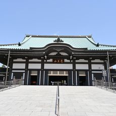
Nittai-ji
357 m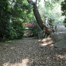
Suemori Castle
543 m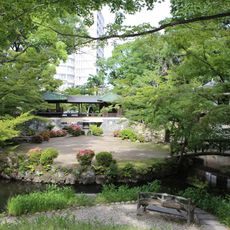
Yōki-sō
239 m
Aichi Kōsei Nenkin Kaikan
623 m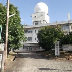
Nagoya Local Meteorological Observatory
979 m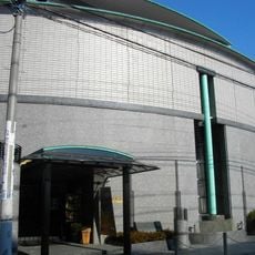
Furukawa Art Museum
469 m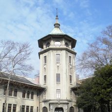
Shōwa Jūkudō
504 m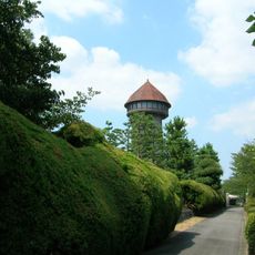
Higashiyama Water Tower
537 m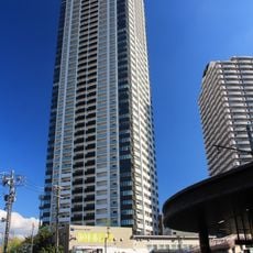
Grande Maison Ikeshita the Tower
613 m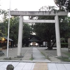
Maruyama Shinmei-sha
871 m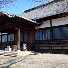
Sōō-ji
437 m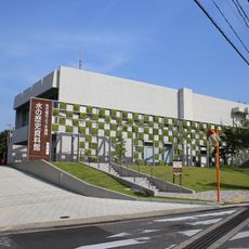
Historical Museum of Waterworks and Sewerage
817 m
Aichi Gakuin University Dental Science Museum
637 m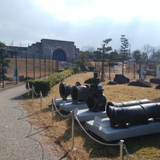
The history museum of water - Nagoya water and sewage stations
813 m
Sentai-jizo-do
140 m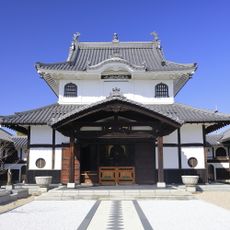
Dairyū-ji (Chikusa-ku, Nagoya)
646 m
Jinsei-ji (Chikusa-ku, Nagoya)
693 m
Yama Jinja
369 m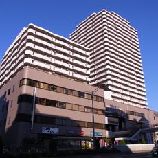
SUNCREA Ikeshita
685 m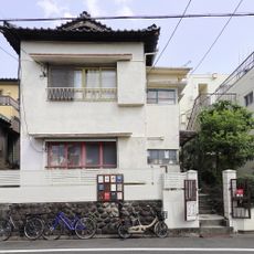
Kakuozan Apartment
91 m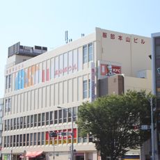
Hattori Motoyama Building
963 m
Temma Suido Bridge
714 m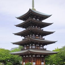
Five-storied Pagoda, Nittai-ji
244 m
Kakuozan-dori Footbridge
698 m
Mamushigaike Hachiman-gu
871 m
Hotmail temple
568 m
揚輝荘
273 m
Buddhism, wayside shrine
426 mReviews
Visited this place? Tap the stars to rate it and share your experience / photos with the community! Try now! You can cancel it anytime.
Discover hidden gems everywhere you go!
From secret cafés to breathtaking viewpoints, skip the crowded tourist spots and find places that match your style. Our app makes it easy with voice search, smart filtering, route optimization, and insider tips from travelers worldwide. Download now for the complete mobile experience.

A unique approach to discovering new places❞
— Le Figaro
All the places worth exploring❞
— France Info
A tailor-made excursion in just a few clicks❞
— 20 Minutes