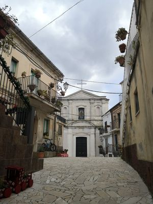
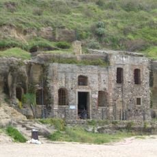
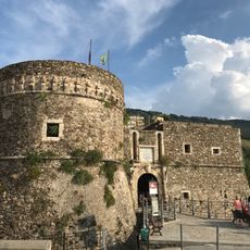
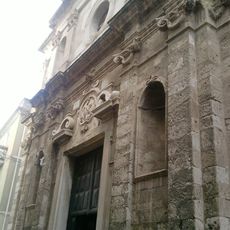
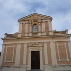
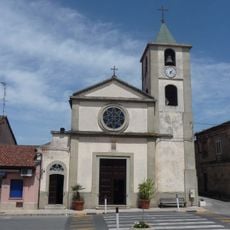
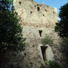
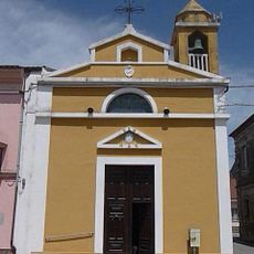
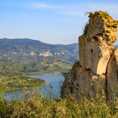
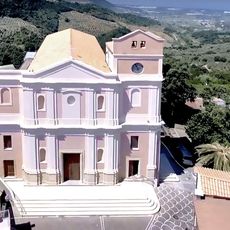
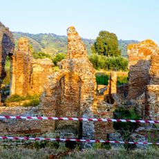
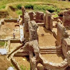
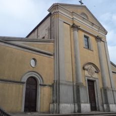
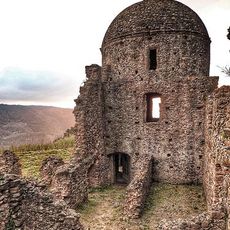
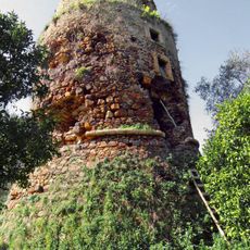
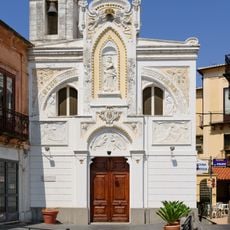
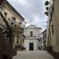
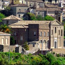
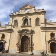
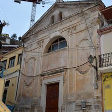
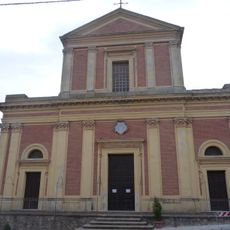
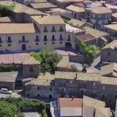
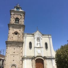
Francavilla Angitola, Italian comune
Location: Province of Vibo Valentia
Capital city: Francavilla Angitola
Elevation above the sea: 290 m
Shares border with: Curinga, Maierato, Pizzo, Polia, Filadelfia
Website: http://comune.francavillaangitola.vv.it
GPS coordinates: 38.78333,16.26667
Latest update: April 19, 2025 00:57
Church of Piedigrotta
9.2 km
Castle Murat
10.7 km
San Giorgio
10.5 km
Santa Barbara
2.1 km
Sant'Agata
11.8 km
Torre Lacconia
5.3 km
San Francesco di Paola
11.9 km
Chiesa del Purgatorio e di Maria Santissima delle Grazie
10.7 km
Marina di Curinga
7.4 km
Spiaggia della Seggiòla
10.3 km
Church of Saint Mary Immaculate Conception
6.3 km
Castle of Rocca Angitola
5.6 km
Saint Andrew Church
6 km
Terme Romane di Curinga
6.1 km
Roman Bath of Aque Annie in Curinga
6.1 km
San Francesco di Paola
2.1 km
Old Sant'Elia monastery
7.3 km
Mezza Praia tower
7.4 km
Immacolata
10.5 km
Church of Saint Foca
837 m
Plane tree of Curinga
7.3 km
Shrine of Our Lady of Carmel
6.1 km
Chiesa di San Nicola
10.3 km
Maria Santissima Immacolata e San Ferdinando Re
10.8 km
Chiesa della Madonna del Carmine
2.2 km
Museo multimediale delle serre calabresi - La Filanda
7.5 km
Bevilacqua palace
6.2 km
Chiesa dei Santi Michele e Nicola
10.7 kmReviews
Visited this place? Tap the stars to rate it and share your experience / photos with the community! Try now! You can cancel it anytime.
Discover hidden gems everywhere you go!
From secret cafés to breathtaking viewpoints, skip the crowded tourist spots and find places that match your style. Our app makes it easy with voice search, smart filtering, route optimization, and insider tips from travelers worldwide. Download now for the complete mobile experience.
A unique approach to discovering new places❞
— Le Figaro
All the places worth exploring❞
— France Info
A tailor-made excursion in just a few clicks❞
— 20 Minutes