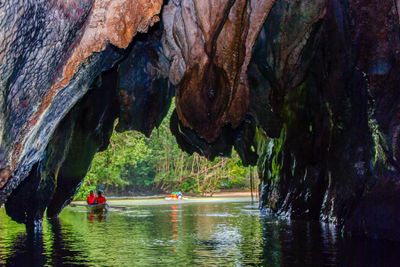
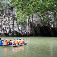
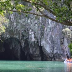
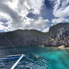
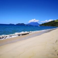
Puerto-Princesa Subterranean River, Underground river system in Puerto Princesa, Philippines.
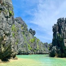
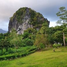
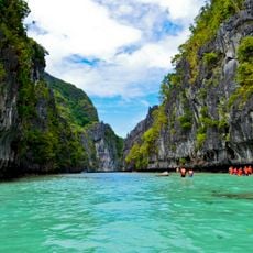
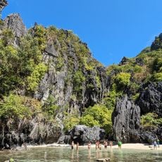
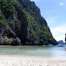
The Puerto-Princesa Subterranean River is an underground river flowing through limestone rock, featuring multiple chambers filled with stalactites, stalagmites, and sculpted rock formations. The system stretches across several kilometers and creates a complex cave landscape with varying levels and passages.
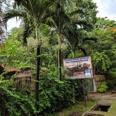
The river system gained worldwide recognition when UNESCO designated it as a World Heritage Site in 1999 for its geological and ecological features. This recognition became a turning point for protecting and preserving the location.
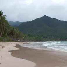
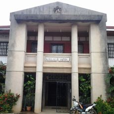
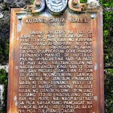
The river holds deep meaning for the communities living nearby, who share stories about its formation and maintain ties to the landscape through everyday practices. Local families have long been part of this place and continue their connection to the river.
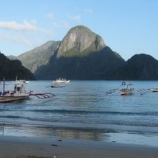
The site is only accessible with a guide, as navigation through narrow passages and water requires caution and expertise. Visitors should prepare for uneven paths, boat travel, and potentially wet conditions throughout the experience.
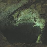
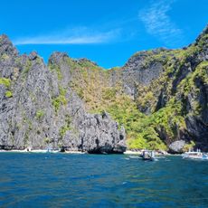
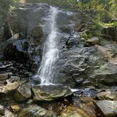
The cave system contains a second level with separate waterfalls that create distinct water flows scientists continue to study. This hidden tier reveals itself only during deeper exploration and is still being mapped out.
The community of curious travelers
AroundUs brings together thousands of curated places, local tips, and hidden gems, enriched daily by 60,000 contributors worldwide.