
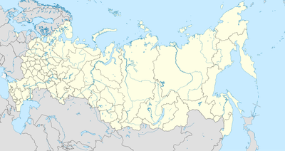
Кумской, human settlement in Russia
Location: Ленинский сельсовет
Location: Mineralovodsky District
GPS coordinates: 44.24444,43.06972
Latest update: June 14, 2025 06:36

Beshtau
16.7 km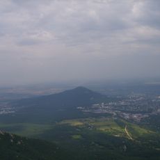
Mashuk
21.7 km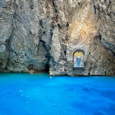
Lake Proval
22.1 km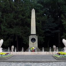
The place of Lermontov's duel
20.6 km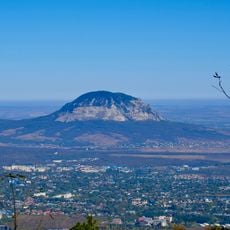
Gora Zmeyka
8.8 km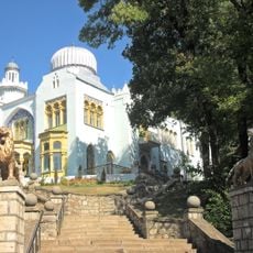
Emir of Bukhara House
12.6 km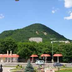
Zheleznaya Mount
12.2 km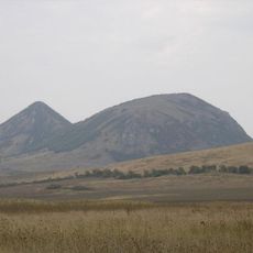
Verblyud
15.4 km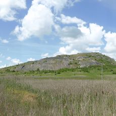
Kinzhal
5.2 km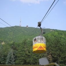
Pyatigorsk Cableway
22.1 km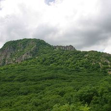
Gora Razvalka
10.6 km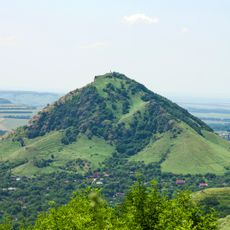
Gora Sheludivaya
18.4 km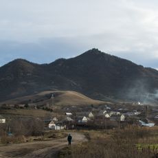
Byk
10.9 km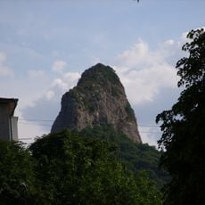
Medovaya
13.1 km
Komsomolsky Park, Pyatigorsk
20.8 km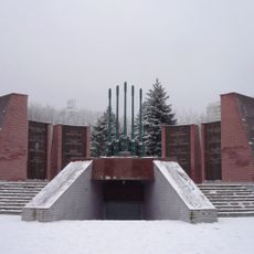
Мемориал воинской Славы героев Великой Отечественной войны (Пятигорск)
20.8 km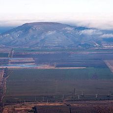
Lysaya
19.9 km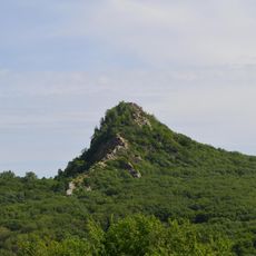
Ostraya
15.2 km
Mount Kokurtly
5.1 km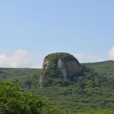
Kabanka
14.4 km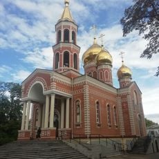
Church of the Annunciation
6.3 km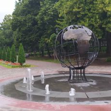
Памятник Первым комсомольцам Пятигорска
21.1 km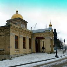
Церковь Покрова Пресвятой Богородицы (Железноводск)
12.7 km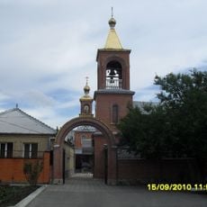
Церковь Святого Николая Чудотворца (Минеральные Воды)
6 km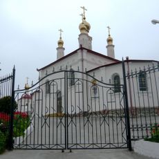
Церковь равноапостольной княгини Ольги (Железноводск)
12.1 km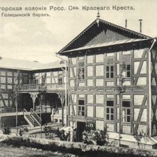
Pyatigorsk Red Cross Colony Ensemble
22.1 km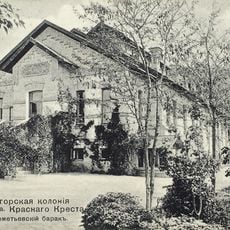
Sheremetiev barrack
22 km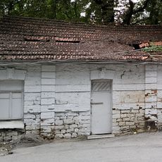
Building of lodge of Pyatigorsk Red Cross Colony
22.1 kmReviews
Visited this place? Tap the stars to rate it and share your experience / photos with the community! Try now! You can cancel it anytime.
Discover hidden gems everywhere you go!
From secret cafés to breathtaking viewpoints, skip the crowded tourist spots and find places that match your style. Our app makes it easy with voice search, smart filtering, route optimization, and insider tips from travelers worldwide. Download now for the complete mobile experience.

A unique approach to discovering new places❞
— Le Figaro
All the places worth exploring❞
— France Info
A tailor-made excursion in just a few clicks❞
— 20 Minutes