
Еральское сельское поселение
Еральское сельское поселение, human settlement in Ashinsky District, Chelyabinsk Oblast, Russia
Location: Ashinsky District
Capital city: Ерал
GPS coordinates: 55.02537,57.92584
Latest update: March 10, 2025 16:33
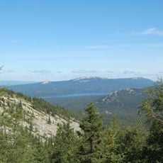
Zyuratkul National Park
67.8 km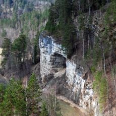
Ignateva Cave
16.9 km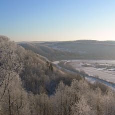
Mountain Yangantau
33.4 km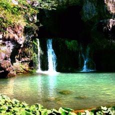
Atysh waterfall
67.1 km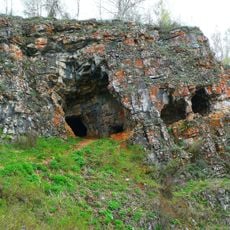
Idrisovskaya Cave
14.5 km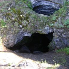
Laklinskaya Cave
43 km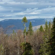
Zigalga National Park
61.6 km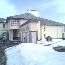
Salawat Yulayev Museum
22.6 km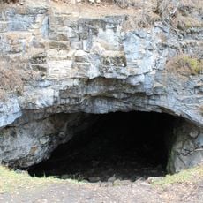
Kurgazak Cave
52.5 km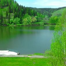
Simsky Pond
16.2 km
Lake Sarva
59.6 km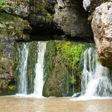
Атиш (печера)
67.1 km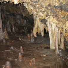
Заповедная пещера
67.1 km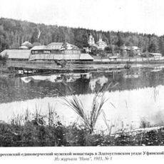
Златоустовский Воскресенский монастырь
71.3 km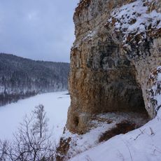
Sabakay
57.4 km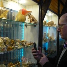
«Каравелла» диңгеҙ музейы
33.2 km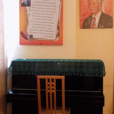
Museum of Khabir Galimov
42.3 km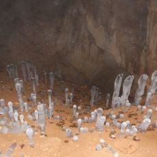
Sukhaya Atya Cave
38.2 km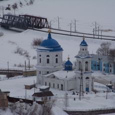
Church of the Entry of the Theotokos into the Temple (Minyar)
23.7 km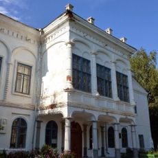
Дом Белосельских-Белозерских (Катав-Ивановск)
34.8 km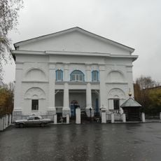
Церковь Иоанна Предтечи (Катав-Ивановск)
34.9 km
Дом купцов Патриных (Усть-Катав)
18.9 km
Дворец культуры вагоностроителей им. Т.Я. Белоконева (Усть-Катав)
19.1 km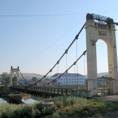
Брянский мост (Усть-Катав)
19 km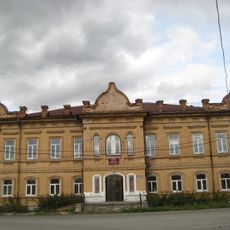
Училище высшее начальное (Сатка)
70.4 km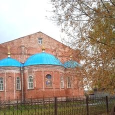
Церковь Рождества Христова (Юрюзань)
37.7 km
Serebryakov house (Yuryuzan)
36.4 km
Abaimov mansion (Yuryuzan)
37.8 kmReviews
Visited this place? Tap the stars to rate it and share your experience / photos with the community! Try now! You can cancel it anytime.
Discover hidden gems everywhere you go!
From secret cafés to breathtaking viewpoints, skip the crowded tourist spots and find places that match your style. Our app makes it easy with voice search, smart filtering, route optimization, and insider tips from travelers worldwide. Download now for the complete mobile experience.

A unique approach to discovering new places❞
— Le Figaro
All the places worth exploring❞
— France Info
A tailor-made excursion in just a few clicks❞
— 20 Minutes