Mountain Yangantau, Natural monument in Bashkortostan, Russia.
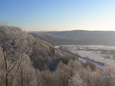
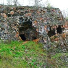
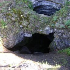
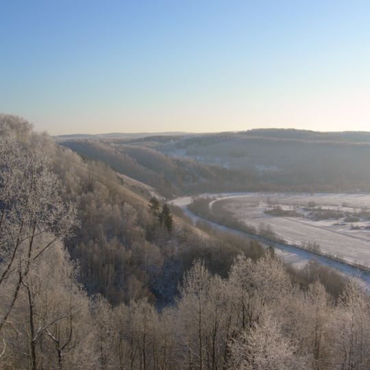
Yangantau is a mountain in the Salavat District of Bashkortostan, stretching 2.5 km east to west along the right bank of the Yuryuzan River. Its absolute height is 143 meters, or 504 meters above sea level, and it rises 160 meters above the river. The mountain is folded from Sakmarian and Artinskian rocks of the lower Permian system. Hot air saturated with water vapor escapes from its slopes at temperatures between +37 and +150 °C.
The mountain was known to the ancient Bashkirs as Karagosh-Tau before receiving its present name. Scientific study began in the 18th century: P. S. Pallas investigated it in 1773, followed by F. N. Chernyshev in 1881 and others. It became a nature monument in 1965, and in 1980 a zakaznik and a 3,600-hectare forestry were established around it.
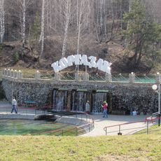
The name Yangantau comes from Turkic words yangan (burning) and tau (mountain). Before the mountain was called Yangantau, Bashkirs knew it as Karagosh-Tau. The slopes where hot air escapes are covered with birch, aspen and oak, alternating with petrophytic steppe and meadow grasses; surviving pines indicate that coniferous forest once grew here.
The mountain stretches 2.5 km east to west along the right bank of the Yuryuzan River, rising 160 m above the river and 504 m above sea level. The slopes carry birch, aspen and oak alternating with petrophytic steppe and meadow. From 1980 a zakaznik and a 3,600-hectare forestry area were established around the mountain.
The mountain generates heat through underground thermal processes with no volcanic activity whatsoever, making it a rare geological formation in the Urals. This geothermal energy source operates entirely through natural means independent of volcanism.
The community of curious travelers
AroundUs brings together thousands of curated places, local tips, and hidden gems, enriched daily by 94,371 contributors worldwide.