
Комсомольское сельское поселение
Комсомольское сельское поселение, human settlement in Omsky District, Omsk Oblast, Russia
Location: Omsky District
Capital city: Aczairskij
GPS coordinates: 54.60452,73.99040
Latest update: May 12, 2025 17:32


Omsk Fortress
58.5 km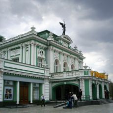
Omsk Academic Drama Theatre
58.3 km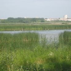
Pamyatnik Prirody Ptich'ya Gavan'
58.1 km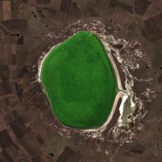
Ebeyty
144.5 km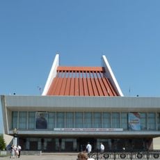
State Musical Theater
57.3 km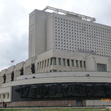
Omsk State Library
59.2 km
Omsk District Museum of Visual Arts
57.4 km
Omsk State Museum of History and Local Lore
57.4 km
60 years of Victory bridge
59.4 km
Lake Ulzhay
82.3 km
St. Nicholas Cossack Cathedral
57.1 km
Leningrader Brücke
57 km
Аквапарк
94.5 km
Zhelezinskaya Fortress
146.6 km
Yubileinyi bridge
57.6 km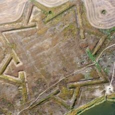
Intercession Fortress
120 km
Памятник Дон Кихоту
57.2 km
The Lutheran Church of the Holy Catherine
58.1 km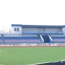
Динамо (стадион, Омск)
58.8 km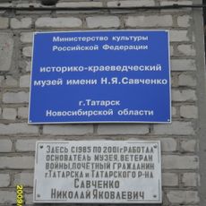
Историко-краеведческий музей имени Н.Я. Савченко
117.4 km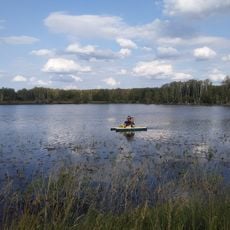
Аквапарк Политотдел
85.5 km
Новокиевский
127.2 km
Wolf Redoubt
134.1 km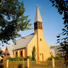
Christuskirche (Omsk)
54.6 km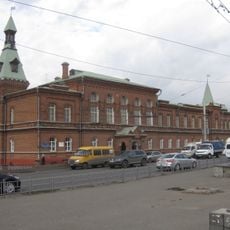
Category:Omsk Duma building
57.5 km
Кочковатский
174 km
Левобережный
53.9 km
Новоселецк
31.9 kmReviews
Visited this place? Tap the stars to rate it and share your experience / photos with the community! Try now! You can cancel it anytime.
Discover hidden gems everywhere you go!
From secret cafés to breathtaking viewpoints, skip the crowded tourist spots and find places that match your style. Our app makes it easy with voice search, smart filtering, route optimization, and insider tips from travelers worldwide. Download now for the complete mobile experience.

A unique approach to discovering new places❞
— Le Figaro
All the places worth exploring❞
— France Info
A tailor-made excursion in just a few clicks❞
— 20 Minutes