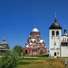
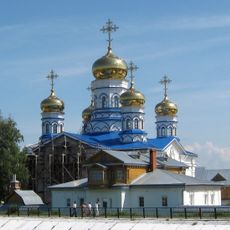
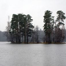
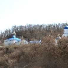
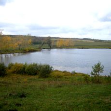
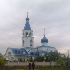
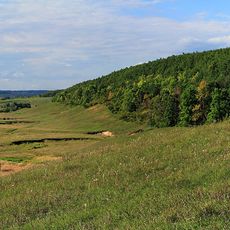
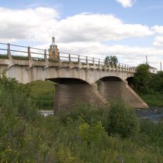
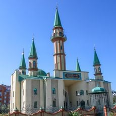
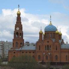
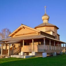
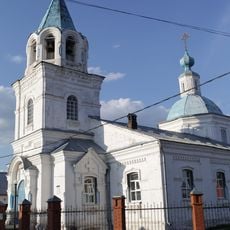
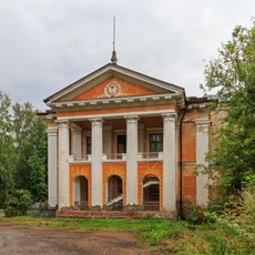
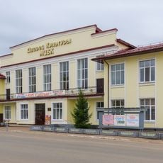
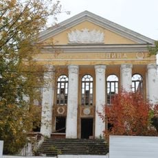
Звениговське міське поселення, human settlement in Zvenigovsky District, Mari El Republic, Russia
The community of curious travelers
AroundUs brings together thousands of curated places, local tips, and hidden gems, enriched daily by 60,000 contributors worldwide.
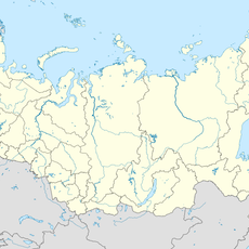
Location
Capital city
Zvenigovo
GPS coordinates
55.96667,48.01667
Latest update
March 2, 2025 21:16