
Brännkyrka, district in Stockholm Municipality, Sweden
Location: Stockholm Municipality
Inception: January 1, 2016
GPS coordinates: 59.28194,18.02306
Latest update: March 20, 2025 11:51
Söderort
1.7 km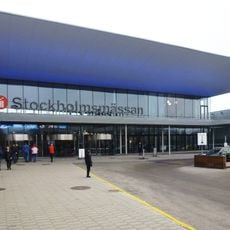
Stockholm International Fairs & Congress Center
565 m
Örby slott
430 m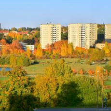
Årstafältet
1.6 km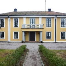
Älvsjö gård
842 m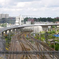
Järnvägsbron Årsta-Älvsjö
1.6 km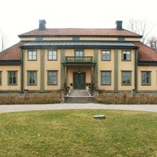
Långbro gård
1.8 km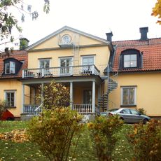
Västberga gård
1.3 km
Valdorshem, Örby
877 m
Lerkrogen
888 m
Park
275 m
Leipzighuset
1 km
Älvsjödepån
1.9 km
Ersta bytomt
1.3 km
Gamla Östberga
991 m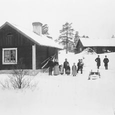
Tussmötetorpet
1.9 km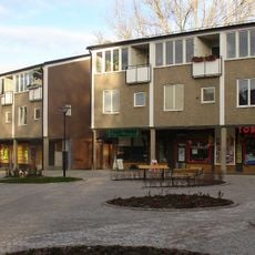
Kristalltorget
1.6 km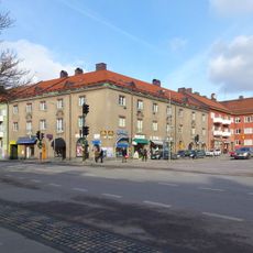
Klingska huset
1 km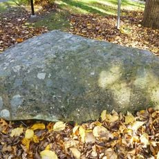
Älvkvarnstenen
887 m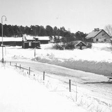
Torpet Anneboda
626 m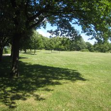
Elektraparken
1.7 km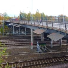
Götalandsviadukten
259 m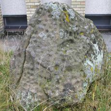
Skålgropsstenen i Årsta partihallar
1.2 km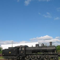
Stockholms Ånglokssällskap
1.9 km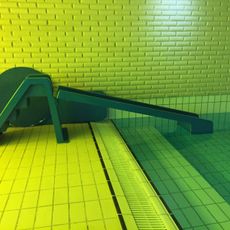
Vattenhuset
1.4 km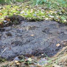
Brännkyrka 161:1
1.1 km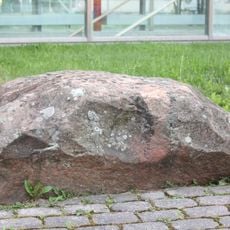
Brännkyrka 56:1
1.2 km
Solberga gravfält
754 mVisited this place? Tap the stars to rate it and share your experience / photos with the community! Try now! You can cancel it anytime.
Discover hidden gems everywhere you go!
From secret cafés to breathtaking viewpoints, skip the crowded tourist spots and find places that match your style. Our app makes it easy with voice search, smart filtering, route optimization, and insider tips from travelers worldwide. Download now for the complete mobile experience.

A unique approach to discovering new places❞
— Le Figaro
All the places worth exploring❞
— France Info
A tailor-made excursion in just a few clicks❞
— 20 Minutes