
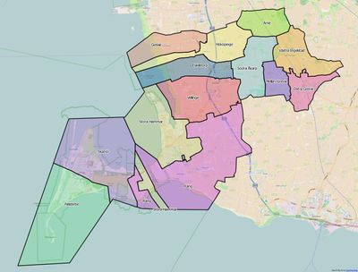
Räng, district in Vellinge Municipality, Sweden
Location: Vellinge Municipality
Inception: January 1, 2016
Part of: Scania
GPS coordinates: 55.42472,13.02000
Latest update: April 24, 2025 07:49
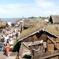
Foteviken Museum
4.3 km
Maglarp new Church
5.7 km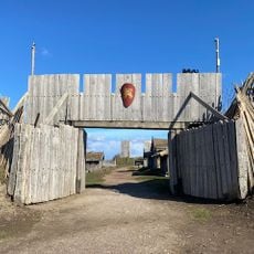
Foteviken Museum
4.3 km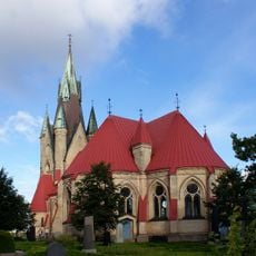
Håslöv Church
2.1 km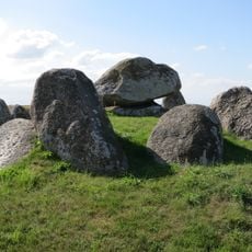
Dolmen von Skegrie
3.6 km
Rängs sand
1.5 km
Södra Håslöv
2.2 km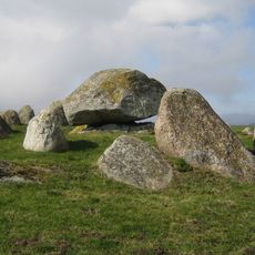
Skegriedösen
2.6 km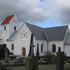
Bodarp Church
3.3 km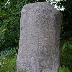
Fugliestenen 1 (DR 259)
4.8 km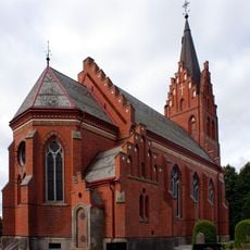
Fuglie Church
4.8 km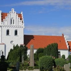
Skegrie Church
3.6 km
Snarringe
5.1 km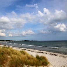
Kämpinge strandbad
5.2 km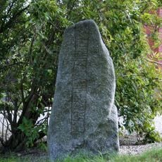
Fugliestenen 2
4.8 km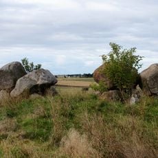
Snarringe double passage grave
3.3 km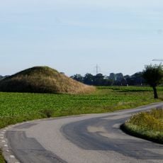
Hanehög
1.4 km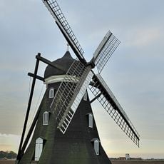
Skegrie mölla
3 km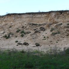
Maglarps sandtag
6.3 km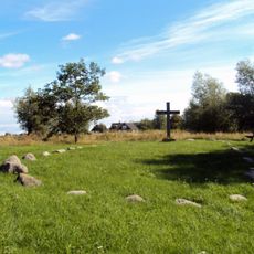
Räng 5:1
3.1 km
Kämpinge strandbad
4.3 km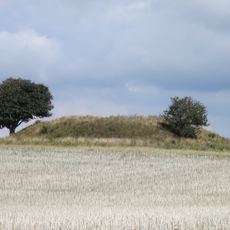
Vållehög
5.7 km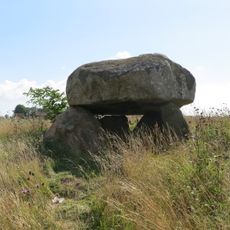
Klockaredösen
5.8 km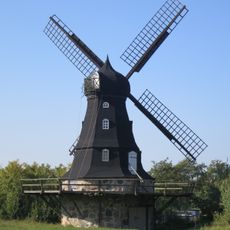
Stora Hammars mölla
2.7 km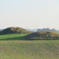
Lillehög och Storehög
6.6 km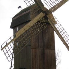
Håslövs stubbamölla
1.7 km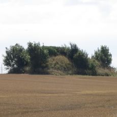
Södra Åkarp 4:1
5 km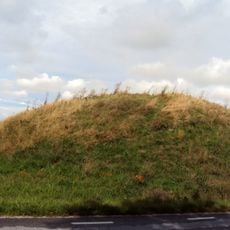
Kungshögen
3.2 kmVisited this place? Tap the stars to rate it and share your experience / photos with the community! Try now! You can cancel it anytime.
Discover hidden gems everywhere you go!
From secret cafés to breathtaking viewpoints, skip the crowded tourist spots and find places that match your style. Our app makes it easy with voice search, smart filtering, route optimization, and insider tips from travelers worldwide. Download now for the complete mobile experience.

A unique approach to discovering new places❞
— Le Figaro
All the places worth exploring❞
— France Info
A tailor-made excursion in just a few clicks❞
— 20 Minutes