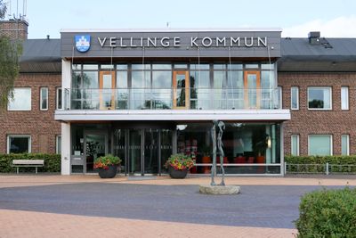
Vellinge Municipality, Coastal municipality in Skåne County, Sweden
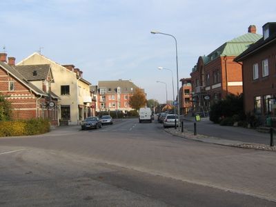
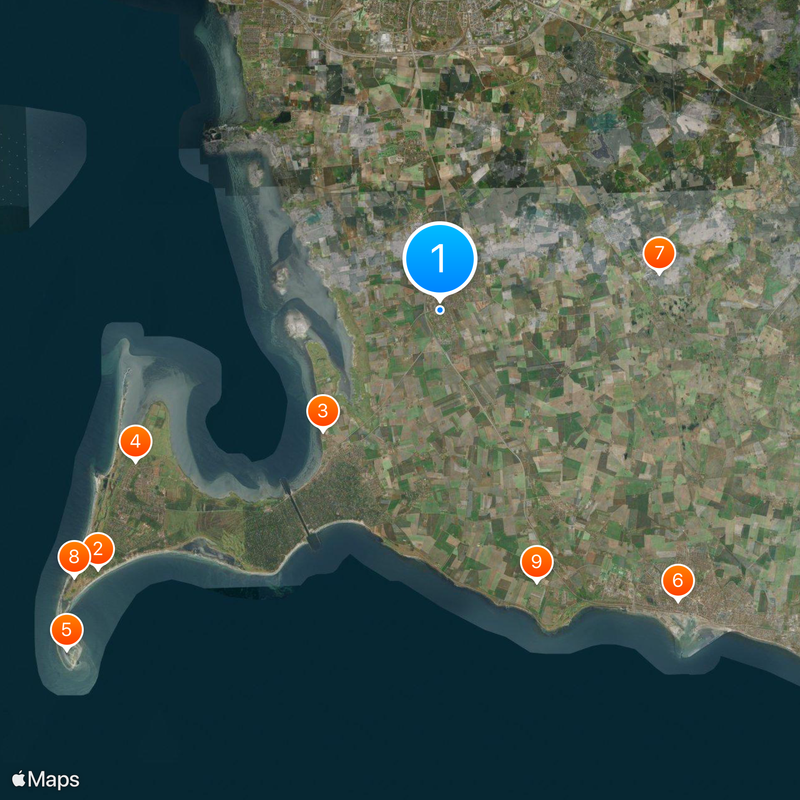
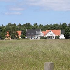
Vellinge Municipality is an administrative area on Sweden's southwestern coast comprising eight main settlements with a mix of fishing villages, farmland, and lakes. The territory includes both small villages and larger populated centers spread across diverse terrain.
The area has roots in several historic communities that were joined together as one administrative unit in 1974. This merger brought together different rural and coastal settlements under shared governance.
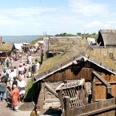
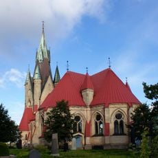
The coastal villages here reflect a strong maritime heritage, with fishing and seafaring shaping how communities are organized and how people live by the water. This connection to the sea appears in local food traditions and the way settlements are structured around harbors.
Spring through early fall offers the best conditions for exploring the area, with mild weather and accessible coastal paths and routes. Getting around is possible through public transportation that connects the main settlements and nearby larger towns.
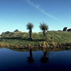
The Söderslätt region contains some of Europe's most fertile soil, shaping the area's agricultural character for generations. This foundation explains why rural settlements here remain closely tied to farming and the land.
Location: Skåne County
Inception: January 1, 1971
Capital city: Vellinge
Reference: 1233
Part of: Malmö metropolitan area, Scania, Malmö domkrets
Shares border with: Malmö Municipality, Svedala Municipality, Trelleborg Municipality, Solrød Municipality, Køge Municipality, Stevns Municipality
Phone: +4640425000
Email: vellinge.kommun@vellinge.se
Website: http://vellinge.se
GPS coordinates: 55.46667,13.01667
Latest update: December 12, 2025 18:13
Falsterbohus
14.8 km
Foteviken Museum
5.8 km
Skanör Church
11.8 km
Måkläppen
17.5 km
Trelleborg ring fort
13 km
Månstorp Gables
7.7 km
Falsterbo Lighthouse
15.7 km
Maglarp new Church
10 km
Böst
13.6 km
Foteviken Museum
5.9 km
Stavsten
11.6 km
Håslöv Church
3.7 km
Skanörs borg
11.7 km
Trelleborg Old Water Tower
13.5 km
Falsterbonäs Open Air Museum
6.8 km
Trelleborg museum
13.5 km
Dolmen von Skegrie
7.6 km
Villa Edstrand
14.6 km
Rängs sand
5.7 km
Södra Håslöv
3.7 km
Bolmers högar
5.9 km
Tygelsjö Church
5.8 km
Skegriedösen
2.3 km
Klörup
10.2 km
Bodarp Church
4.7 km
Invalidmonumentet
12.9 km
Fugliestenen 1 (DR 259)
4.8 km
Södra Klagshamn
8.4 kmVisited this place? Tap the stars to rate it and share your experience / photos with the community! Try now! You can cancel it anytime.
Discover hidden gems everywhere you go!
From secret cafés to breathtaking viewpoints, skip the crowded tourist spots and find places that match your style. Our app makes it easy with voice search, smart filtering, route optimization, and insider tips from travelers worldwide. Download now for the complete mobile experience.
A unique approach to discovering new places❞
— Le Figaro
All the places worth exploring❞
— France Info
A tailor-made excursion in just a few clicks❞
— 20 Minutes