
Sölvesborg 3:1, stone setting in Sölvesborg Municipality, Blekinge, Sweden
Location: Sölvesborg Municipality
GPS coordinates: 56.07169,14.56428
Latest update: May 28, 2025 04:46
Gemeinde Sölvesborg
4.5 km
Gemeinde Bromölla
5.1 km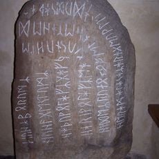
Stentoften Runestone
2.4 km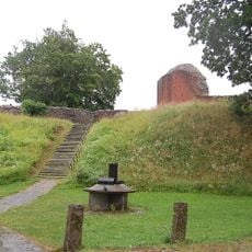
Sölvesborg's Castle
2.6 km
Sölvesborg bridge
3 km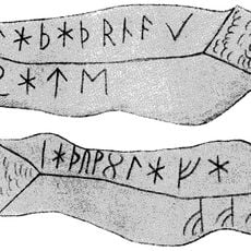
Gummarp Runestone
2.8 km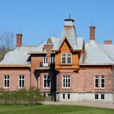
Årup
5.7 km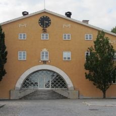
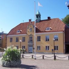
Listers härads tingshus, Sölvesborg
2.4 km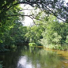
Skräbeån
5.8 km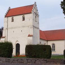
Ivetofta Church
6.1 km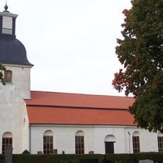
Gammalstorp Church
5.8 km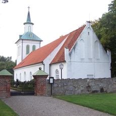
Ysane Church
5.7 km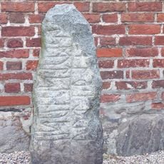
Sölvesborg 18:1
2.4 km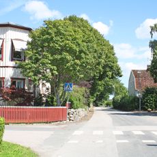
Grödby
3 km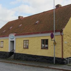
Gamla fattighuset
2.3 km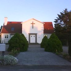
Centrumkyrkan, Bromölla
5.4 km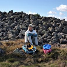
Mjällby 29:1
5.7 km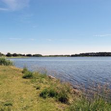
Sölvesborgsviken
3.4 km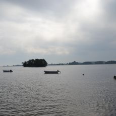
Valje
2.1 km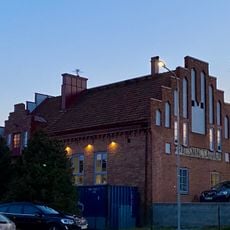
Salvation Armys old church in Sölvesborg
2.3 km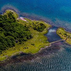
Sillnäs
8.6 km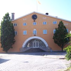
Listers och Sölvesborgs domsaga
4.7 km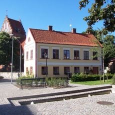
Nicolaigården
2.5 km
Listers och Sölvesborgs domsagas tingslag
4.7 km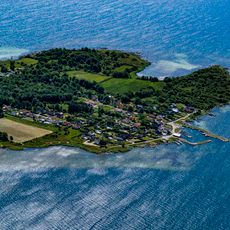
Västra Näsnabben
5.9 km
Scala
2.6 km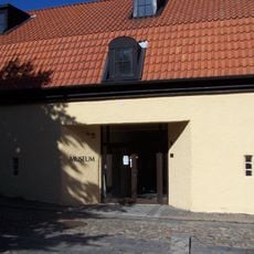
Sölvesborg Museum
2.7 km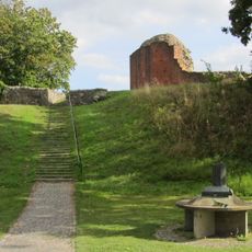
Sölvesborgs Slott
2.6 kmReviews
Visited this place? Tap the stars to rate it and share your experience / photos with the community! Try now! You can cancel it anytime.
Discover hidden gems everywhere you go!
From secret cafés to breathtaking viewpoints, skip the crowded tourist spots and find places that match your style. Our app makes it easy with voice search, smart filtering, route optimization, and insider tips from travelers worldwide. Download now for the complete mobile experience.

A unique approach to discovering new places❞
— Le Figaro
All the places worth exploring❞
— France Info
A tailor-made excursion in just a few clicks❞
— 20 Minutes