
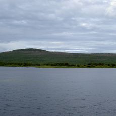
Naarakero, nature reserve in Norrbotten, Sweden
Location: Övertorneå Municipality
Inception: December 4, 2009
GPS coordinates: 66.67756,23.59644
Latest update: March 14, 2025 10:34
Aavasaksa
31.7 km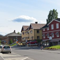
Övertorneå Municipality
4.4 km
Överkalix Municipality
56.6 km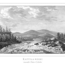
Kattilakoski
18.2 km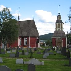
Övertorneå Church
32.1 km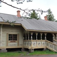
Imperial lodge
31.7 km
Læstadiuspörtet
60.1 km
Aavasaksan näkötorni
31.7 km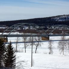
Aavasaksa Bridge
33.5 km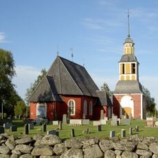
Hietaniemi Church
51.7 km
Armasjärvi
39.2 km
Aavasaksa Kruununpuisto park tourism buildings
31.7 km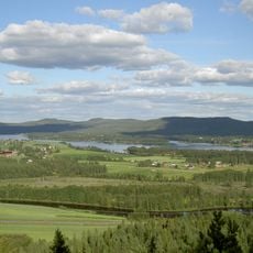
Maaherra
23.5 km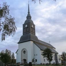
Överkalix Church
51.4 km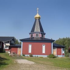
Преображенская церковь
50 km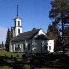
Korpilombolo Church
30.9 km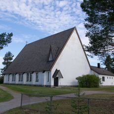
Pello Church
21.8 km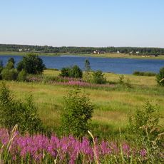
Konsthall Tornedalen
55.8 km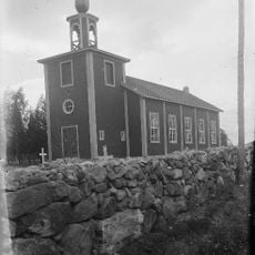
Svansteins kyrka
11.8 km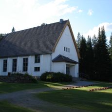
Turtolako eliza
12.4 km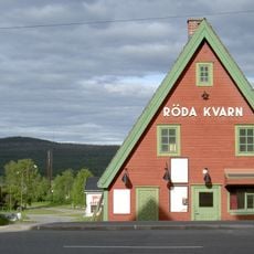
Röda Kvarn
32.3 km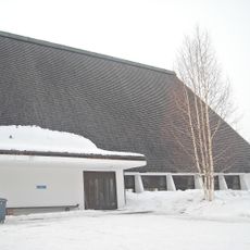
Sieppijärvi Church
55.6 km
Meltosjärvi church
49.4 km
Hanhivittikko fäbod
25.8 km
Pajala och Korpilombolo tingslag
60.3 km
Nordkalottens kultur- och forskningscentrum
32.1 km
Isovaara
33.6 km
Armasjärvimyren
42.4 kmReviews
Visited this place? Tap the stars to rate it and share your experience / photos with the community! Try now! You can cancel it anytime.
Discover hidden gems everywhere you go!
From secret cafés to breathtaking viewpoints, skip the crowded tourist spots and find places that match your style. Our app makes it easy with voice search, smart filtering, route optimization, and insider tips from travelers worldwide. Download now for the complete mobile experience.

A unique approach to discovering new places❞
— Le Figaro
All the places worth exploring❞
— France Info
A tailor-made excursion in just a few clicks❞
— 20 Minutes