
Törelbrännan, nature reserve in Västerbotten, Sweden
Location: Umeå Municipality
Inception: July 13, 1993
GPS coordinates: 63.96522,20.45202
Latest update: March 13, 2025 19:10
Umeå Municipality
16.8 km
Västerbottens museum
17.1 km
Grön eld, Umeå
17.6 km
Lev!
17.6 km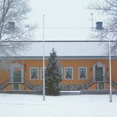
Sävargården
17.2 km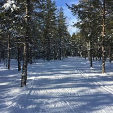
Stadsliden
16.2 km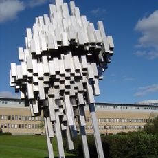
Norra skenet
17.7 km
Hamrinsberget
17.7 km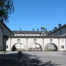
Seminariet, Umeå
17.6 km
Umestan business park
17.3 km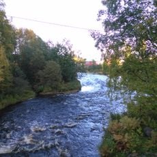
Tavelån
12.8 km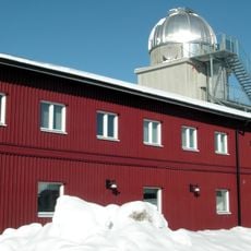
Umevatoriet
17.1 km
Den förhistoriska världen
17.6 km
Bågenhusen
17.7 km
Gammlia
17 km
Lars Färgares gård
17.2 km
Sandbacka
16.3 km
Ersboda Folkets Hus
13.2 km
Ersmark Church
11.3 km
Sävar Church
8.2 km
Mariehemsängarna
15.9 km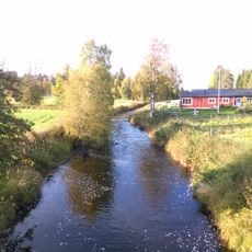
Täfteån
2.5 km
Vågspel
17.6 km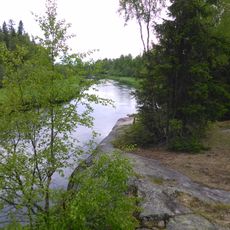
Nedre Sävarån
15.8 km
Stöningsberget
15.2 km
Fiske och sjöfartsmuseum
17.2 km
Svenska skidmuseet
17.2 km
Gestalt i storm
17.4 kmReviews
Visited this place? Tap the stars to rate it and share your experience / photos with the community! Try now! You can cancel it anytime.
Discover hidden gems everywhere you go!
From secret cafés to breathtaking viewpoints, skip the crowded tourist spots and find places that match your style. Our app makes it easy with voice search, smart filtering, route optimization, and insider tips from travelers worldwide. Download now for the complete mobile experience.

A unique approach to discovering new places❞
— Le Figaro
All the places worth exploring❞
— France Info
A tailor-made excursion in just a few clicks❞
— 20 Minutes