
Nedre Trollforsen
Location: Norrbotten County
Elevation above the sea: 287 m
GPS coordinates: 65.98333,19.36667
Latest update: April 15, 2025 23:11
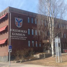
Jokkmokk Municipality
73.5 km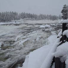
Storforsen
49.6 km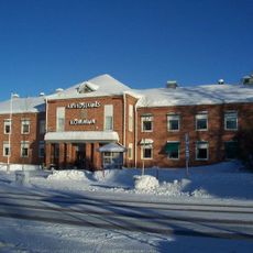
Arvidsjaur Municipality
35.7 km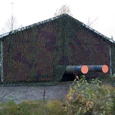
Victoria Fort
74 km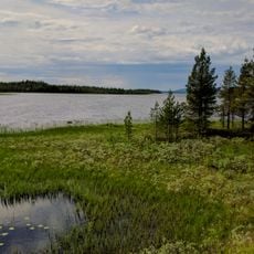
Storavan
69.5 km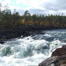
Trollforsen
2.5 km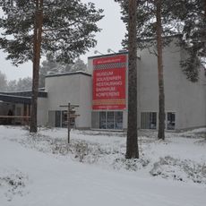
Ájtte
72.3 km
Silvermuseet
67.4 km
RFN museum
36 km
Vuollerimboplatsen
76.4 km
Vuollerim 6000 Natur och Kultur
75.2 km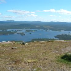
Galtispuoda
66.2 km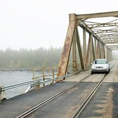
Pite River Bridge
530 m
Rallarmuseet i Moskosel
11.6 km
Reivo
21.9 km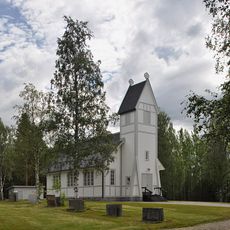
Puottaure Church
45.2 km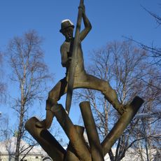
Timmerflottaren
72.4 km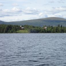
Norra Bergnäs kapell
68.8 km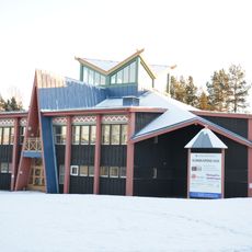
Kunskapens hus
72.4 km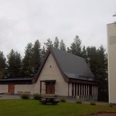
Church of Vidsel
55 km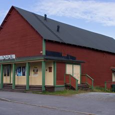
Bio Norden
72.5 km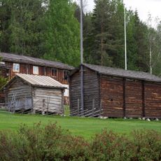
Glommersträsks hembygdsmuseum
81.1 km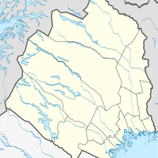
Vittjåkk-Akkanålke fjällurskog
52.1 km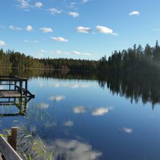
Serri
77.2 km
Storsandberget
74.3 km
Pellobäcken domänreservat
70.5 km
Arjeplogs kyrkobokföringsdistrikt
67.5 km
Centrumbadet
44.2 kmReviews
Visited this place? Tap the stars to rate it and share your experience / photos with the community! Try now! You can cancel it anytime.
Discover hidden gems everywhere you go!
From secret cafés to breathtaking viewpoints, skip the crowded tourist spots and find places that match your style. Our app makes it easy with voice search, smart filtering, route optimization, and insider tips from travelers worldwide. Download now for the complete mobile experience.

A unique approach to discovering new places❞
— Le Figaro
All the places worth exploring❞
— France Info
A tailor-made excursion in just a few clicks❞
— 20 Minutes