
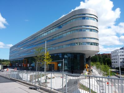
Kista Nod, building in Stockholm Municipality, Sweden
Location: Stockholm Municipality
Official opening: 2014
Floors above the ground: 5
GPS coordinates: 59.40725,17.94586
Latest update: April 1, 2025 08:17
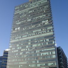
Kista Science Tower
588 m
Rinkeby-Kista city district
657 m
Kista Torn
357 m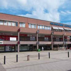
Helenelund
1.1 km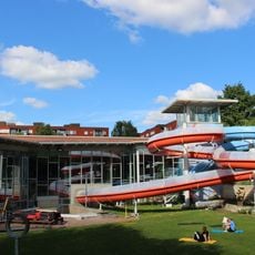
Husbybadet
1.4 km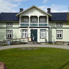
Eggeby Farm
1.8 km
Filmstaden Kista
360 m
Tegelhagen
2 km
Isafjord 1
645 m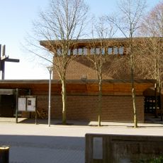
Akalla Church
1.7 km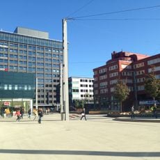
Jan Stenbecks torg
493 m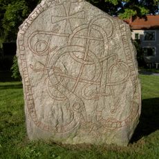
Uppland Runic Inscription Fv1953;263
1.3 km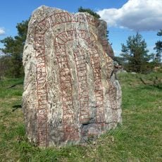
Eggeby stone
1.7 km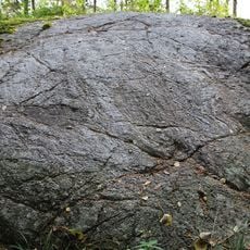
Granbyhällen
1.1 km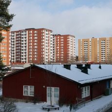
Sibeliusgången
2 km
Uppland Runic Inscription 75
215 m
Randersgatan
1.2 km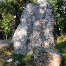
Uppland Runic Inscription 74
1.6 km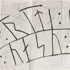
Uppland Runic Inscription 71
1.6 km
KTH Campus Kista
322 m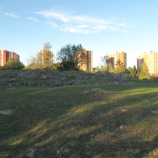
Spånga 83:1
1.9 km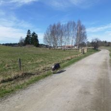
Igelbäcken i Stockholm
1.9 km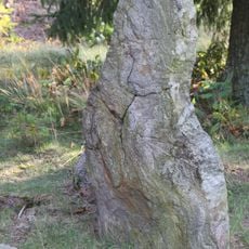
Spånga 80:2
1.6 km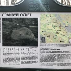
Granbyblocket
1.1 km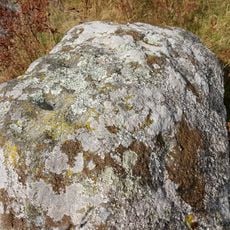
Spånga 83:3
2 km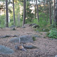
Spånga 257:1
1.9 km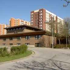
Akalla kyrka
1.7 km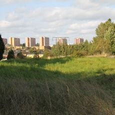
Husby gravfält
1.7 kmReviews
Visited this place? Tap the stars to rate it and share your experience / photos with the community! Try now! You can cancel it anytime.
Discover hidden gems everywhere you go!
From secret cafés to breathtaking viewpoints, skip the crowded tourist spots and find places that match your style. Our app makes it easy with voice search, smart filtering, route optimization, and insider tips from travelers worldwide. Download now for the complete mobile experience.

A unique approach to discovering new places❞
— Le Figaro
All the places worth exploring❞
— France Info
A tailor-made excursion in just a few clicks❞
— 20 Minutes