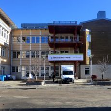
Alfredshem Green lower light, منارة في السويد
Location: Örnsköldsvik Municipality
Inception: 1990
GPS coordinates: 63.26478,18.71289
Latest update: November 21, 2025 22:33
Örnsköldsvik Municipality
2.1 km
Genesmon
1.9 km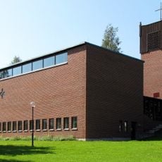
Domsjö church
913 m
Primus Motor (förening)
1.5 km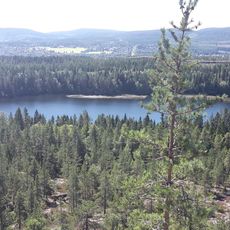
Hörnsjön
2.4 km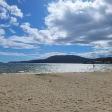
Nyängetshavsbad
2 km
Björna 194:1
1.7 km
Själevad 32:2
1.9 km
Själevad 212:1
739 m
Public beach Nyängets havsbad
2.1 km
Järved lower light
2.2 km
Alfredshem Red lower light
93 m
Alfredshem Green upper light
174 m
Själevad 227
1.4 km
Själevad 20:2
1.7 km
Själevad 92:1
1.4 km
Själevad 38:2
1.2 km
Själevad 124:1
1.8 km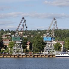
Hamnkranarna
2.3 km
Järved upper light
2.2 km
Själevad 38:1
1.2 km
Själevad 37:1
1.9 km
Alfredshem Red upper light
166 m
Själevad 32:1
1.9 km
Apoteket
1.2 km
Scenic viewpoint
715 m
Cannon
400 m
Cannon
401 mReviews
Visited this place? Tap the stars to rate it and share your experience / photos with the community! Try now! You can cancel it anytime.
Discover hidden gems everywhere you go!
From secret cafés to breathtaking viewpoints, skip the crowded tourist spots and find places that match your style. Our app makes it easy with voice search, smart filtering, route optimization, and insider tips from travelers worldwide. Download now for the complete mobile experience.

A unique approach to discovering new places❞
— Le Figaro
All the places worth exploring❞
— France Info
A tailor-made excursion in just a few clicks❞
— 20 Minutes