
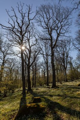
Djurgården, nature reserve in Västra Götaland, Sweden
Location: Götene Municipality
Inception: October 22, 2007
GPS coordinates: 58.62046,13.41960
Latest update: March 5, 2025 18:42
Kinnekulle
2.3 km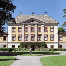
Hellekis säteri
1.9 km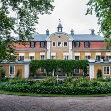
Råbäck
2.7 km
Hönsäter
681 m
Österplana 065
4.2 km
Munkängarna
2.1 km
Österplana hed och vall
6.2 km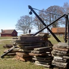
Råbäck's mechanical stonemasonry
4.5 km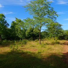
Såten
6.1 km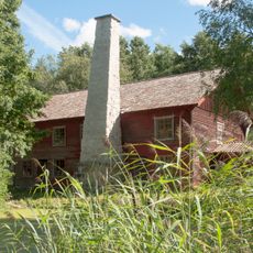
Österängs ångsåg
6.6 km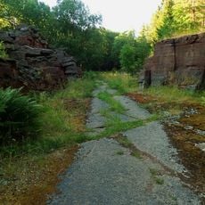
Gröne skog
3.7 km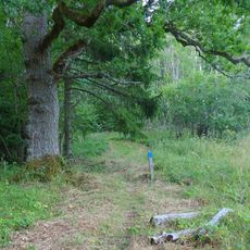
Råbäcks ekhagar
3.6 km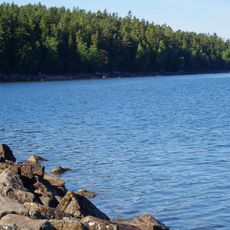
Hellekis
2.4 km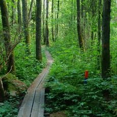
Bestorp
5.5 km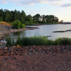
Råbäcks sjöskog
5 km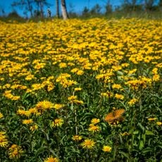
Råbäck
3 km
Medelplana 46:2
2.2 km
Medelplana 46:4
2.2 km
Medelplana 46:1
2.2 km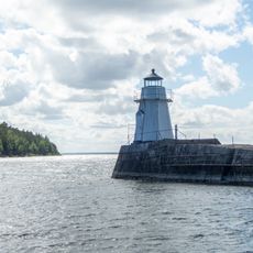
Hällekis harbor lighthouse
2.4 km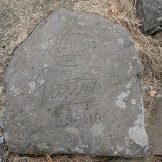
Medelplana 46:3
2.2 km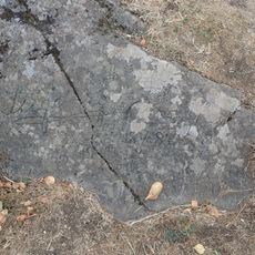
Medelplana 46:6
2.2 km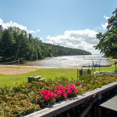
Public beach Vänern, Kinnekulle Camping
2.2 km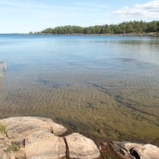
Public beach Vänern, Björkkullasand
6.6 km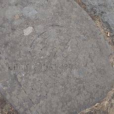
Medelplana 46:5
2.2 km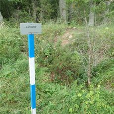
Forshem 49:1
6.3 km
Forshem 23:1
6.4 km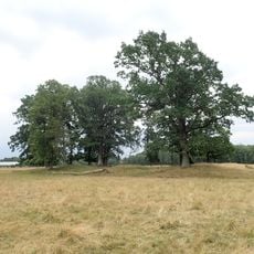
Forshem 23:2
6.4 kmReviews
Visited this place? Tap the stars to rate it and share your experience / photos with the community! Try now! You can cancel it anytime.
Discover hidden gems everywhere you go!
From secret cafés to breathtaking viewpoints, skip the crowded tourist spots and find places that match your style. Our app makes it easy with voice search, smart filtering, route optimization, and insider tips from travelers worldwide. Download now for the complete mobile experience.

A unique approach to discovering new places❞
— Le Figaro
All the places worth exploring❞
— France Info
A tailor-made excursion in just a few clicks❞
— 20 Minutes