
Vail, Home Rule Municipality in Eagle County, Colorado, United States
Location: Eagle County
Inception: 1966
Elevation above the sea: 2,445 m
Website: http://vailgov.com
GPS coordinates: 39.63583,-106.36306
Latest update: July 11, 2025 12:15


Camp Hale
21.6 km
Dillon Reservoir
26.6 km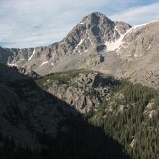
Mount of the Holy Cross
21.4 km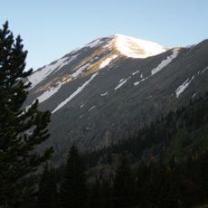
Quandary Peak
34.5 km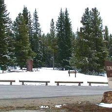
Tennessee Pass
35.3 km
Fremont Pass
33.6 km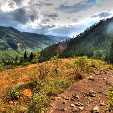
Eagles Nest Wilderness
12 km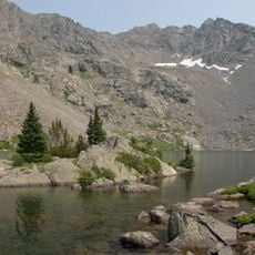
Holy Cross Wilderness
21.4 km
Sylvan Lake State Park
35.1 km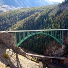
Red Cliff Bridge
14.2 km
Betty Ford Alpine Gardens
499 m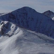
Crystal Peak
30.9 km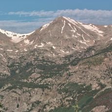
Mount Jackson
22.4 km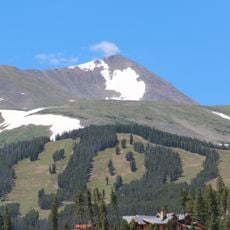
Peak 10
31 km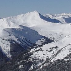
Jacque Peak
24.7 km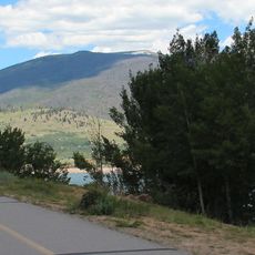
Ptarmigan Peak (Colorado)
29.5 km
Pacific Peak
31.4 km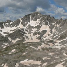
Fletcher Mountain
32.8 km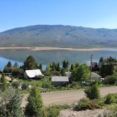
Williams Peak (Colorado)
30.1 km
Clinton Peak
35 km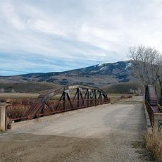
Slate Creek Bridge
23.8 km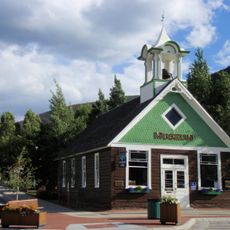
Frisco Schoolhouse
23.6 km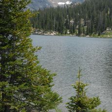
Lake Charles Trail
30.3 km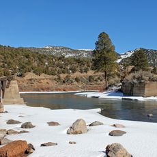
State Bridge
34.8 km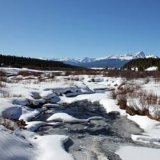
Tennessee Creek
35.9 km
Keystone Ranch Course
32 km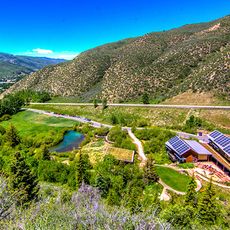
Walking Mountains Science Center
13.3 km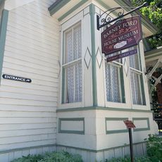
Barney Ford House Museum
32.3 kmReviews
Visited this place? Tap the stars to rate it and share your experience / photos with the community! Try now! You can cancel it anytime.
Discover hidden gems everywhere you go!
From secret cafés to breathtaking viewpoints, skip the crowded tourist spots and find places that match your style. Our app makes it easy with voice search, smart filtering, route optimization, and insider tips from travelers worldwide. Download now for the complete mobile experience.

A unique approach to discovering new places❞
— Le Figaro
All the places worth exploring❞
— France Info
A tailor-made excursion in just a few clicks❞
— 20 Minutes